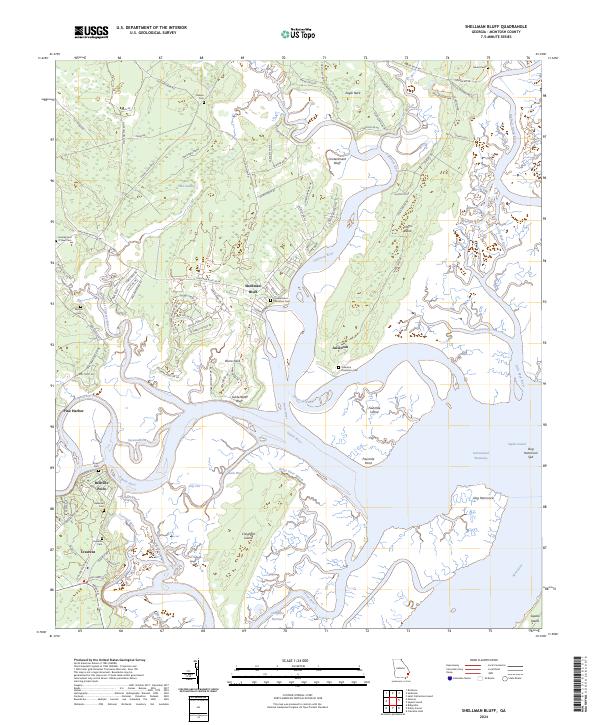
2024 Map of Shellman Bluff
USGS Topo · Published 2024About this map
Shellman Bluff and Julienton overlook a complex network of coastal waterways and salt marshes defined by the Julienton River and the Sapelo River. This corner of McIntosh County reveals a landscape where modern wildlife conservation at the Harris Neck National Wildlife Refuge exists alongside deep-rooted family and plantation history. The presence of numerous small burial grounds, such as Contentment Plantation Cem and Julienton Plantation Cem, points to the area's legacy of large agricultural estates that once lined these shores. To the south, Creighton Island is separated from the mainland by the Creighton Narrows and Back River, forming a protected coastal corridor. The transition from the dense interior of Bull Town Swamp to tidal features like Dog Hammock illustrates the diverse ecology that has supported both maritime trade along the Intracostal Waterway and small fishing settlements like Bellville Point and Pine Harbor.
Find a feature on this map
105 named features on this map. Tap any name to fly to it.
Don’t see what you’re looking for? This feature index may not catch every label — zoom into the map to look around manually.
Map Details
Editions of this 2024 Shellman Bluff Map
This is the sole edition of this map. No revisions or reprints were ever made.
Other maps of this area

1920 · Sapelo River
USGS Topo · 1:62,500

1920 · Cabretta Island
USGS Topo · 1:62,500

1921 · Darien
USGS Topo · 1:62,500

1928 · St Catherines Island
USGS Topo · 1:62,500

1943 · St Catherines Island
USGS Topo · 1:62,500

1943 · Sapelo River
USGS Topo · 1:62,500

1944 · Cabretta Island
USGS Topo · 1:62,500

1945 · St. Catherine's Island
USGS Topo · 1:62,500

1945 · Sapelo River
USGS Topo · 1:62,500

1946 · Brunswick
USGS Topo · 1:250,000