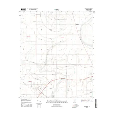
2015 Map of Shellmound
USGS Topo · Published 2015About this map
The Tallahatchie River and Yazoo River converge in this delta landscape, defining a region where water and agriculture remain deeply entwined. In the southern reach of the map, the campus of Mississippi Valley State University stands as a significant landmark near the historic community of Fort Loring. Small rural settlements like Shellmound and Rixwood are connected by a dense grid of county roads, such as Blacktop Brake Rd and Old Schlater Rd, which traverse the flat alluvial plains. The presence of Saint Pauls Cem and numerous bayous, including Gin Bayou and Baker Cr, provides a detailed look at the local geography of Leflore County. This mapping reveals a landscape dominated by large-scale farming and the winding paths of the delta's vital waterways.
Find a feature on this map
69 named features on this map. Tap any name to fly to it.
Don’t see what you’re looking for? This feature index may not catch every label — zoom into the map to look around manually.
Map Details
Editions of this 2015 Shellmound Map
This is the sole edition of this map. No revisions or reprints were ever made.
Other maps of this area

1931 · Schlater
USGS Topo · 1:48,000

1934 · Schlater
USGS Topo · 1:62,500

1936 · Greenwood
USGS Topo · 1:62,500

1939 · Schlater
USGS Topo · 1:62,500

1940 · Seven Pines
USGS Topo · 1:62,500

1940 · Greenwood
USGS Topo · 1:62,500

1953 · Greenwood
USGS Topo · 1:250,000

1956 · Greenwood
USGS Topo · 1:250,000

1957 · Greenwood
USGS Topo · 1:62,500

1957 · Seven Pines
USGS Topo · 1:62,500