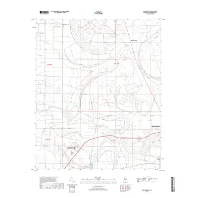
2018 Map of Shellmound
USGS Topo · Published 2018About this map
Mississippi Valley State University serves as a major landmark in this portion of the Mississippi Delta, situated just north of Itta Bena. The landscape is defined by the complex hydrology of the region, where the Tallahatchie River and Yazoo River converge near the historic site of Fort Loring. Extensive wetlands and seasonal water bodies like Ashland Brake and Taro Brake illustrate the low-lying nature of the terrain, which is crisscrossed by a grid of rural routes such as Ashland Rd and Co Rd 515.
Find a feature on this map
63 named features on this map. Tap any name to fly to it.
Don’t see what you’re looking for? This feature index may not catch every label — zoom into the map to look around manually.
Map Details
Editions of this 2018 Shellmound Map
This is the sole edition of this map. No revisions or reprints were ever made.
Other maps of this area

1931 · Schlater
USGS Topo · 1:48,000

1934 · Schlater
USGS Topo · 1:62,500

1936 · Greenwood
USGS Topo · 1:62,500

1939 · Schlater
USGS Topo · 1:62,500

1940 · Seven Pines
USGS Topo · 1:62,500

1940 · Greenwood
USGS Topo · 1:62,500

1953 · Greenwood
USGS Topo · 1:250,000

1956 · Greenwood
USGS Topo · 1:250,000

1957 · Greenwood
USGS Topo · 1:62,500

1957 · Seven Pines
USGS Topo · 1:62,500