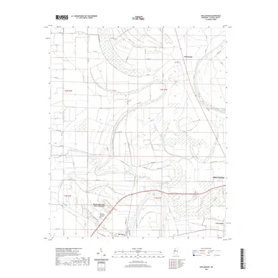
2020 Map of Shellmound
USGS Topo · Published 2020About this map
The Tallahatchie River and Yazoo River converge in this delta landscape, defining the water-rich geography of the region. The map captures the western outskirts of Greenwood and the concentrated campus of Mississippi Valley State University near Itta Bena. This area is characterized by intricate drainage patterns and low-lying wetlands, evidenced by features like Ashland Brake, Turo Brake, and Gin Bayou. The settlement at Shellmound and the historic vicinity of Fort Loring anchor the local geography, while Saint Pauls Cem provides a point of genealogical interest. The grid of county roads, including Co RD 114 and Co RD 517, illustrates the modern connectivity between these Delta communities and the expansive agricultural lands that surround them.
Find a feature on this map
64 named features on this map. Tap any name to fly to it.
Don’t see what you’re looking for? This feature index may not catch every label — zoom into the map to look around manually.
Map Details
Editions of this 2020 Shellmound Map
This is the sole edition of this map. No revisions or reprints were ever made.
Other maps of this area

1931 · Schlater
USGS Topo · 1:48,000

1934 · Schlater
USGS Topo · 1:62,500

1936 · Greenwood
USGS Topo · 1:62,500

1939 · Schlater
USGS Topo · 1:62,500

1940 · Seven Pines
USGS Topo · 1:62,500

1940 · Greenwood
USGS Topo · 1:62,500

1953 · Greenwood
USGS Topo · 1:250,000

1956 · Greenwood
USGS Topo · 1:250,000

1957 · Greenwood
USGS Topo · 1:62,500

1957 · Seven Pines
USGS Topo · 1:62,500