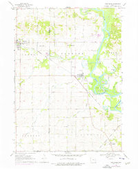
1968 Map of Shellsburg
USGS Topo · Published 1976About this map
Shellsburg sits at the convergence of heavy rail and local watercourses, serving as a hub for the surrounding Canton and Fayette townships. The Chicago Rock Island and Pacific railroad bisects the landscape, connecting the town to the village of Palo and the agricultural hinterlands. The eastern portion of the map is dominated by the Cedar River and its intricate wetland systems, including Palo Marsh County Park and Chain Lakes County Park.
Find a feature on this map
41 named features on this map. Tap any name to fly to it.
Don’t see what you’re looking for? This feature index may not catch every label — zoom into the map to look around manually.
Map Details
Editions of this 1968 Shellsburg Map
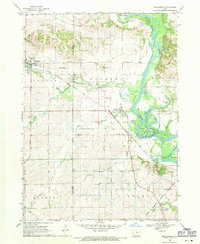
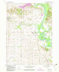
3 editions found
Other maps of this area

1887 · Cedar Rapids
USGS Topo · 1:62,500

1888 · Shellsburg
USGS Topo · 1:62,500

1888 · Marion
USGS Topo · 1:62,500

1888 · Amana
USGS Topo · 1:62,500

1889 · Marion
USGS Topo · 1:62,500

1889 · Amana
USGS Topo · 1:62,500

1889 · Shellsburg
USGS Topo · 1:62,500

1891 · Cedar Rapids
USGS Topo · 1:62,500

1899 · Amana
USGS Topo · 1:62,500

1899 · Shellsburg
USGS Topo · 1:62,500