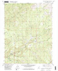
1981 Map of Shelly Baldy Peak
USGS Topo · Published 1981About this map
Shelly Baldy Peak and the high ridges of the Fishlake National Forest dominate this 1981 survey of the Tushar Mountains. The landscape is defined by its water management and recreational infrastructure, featuring the Beaver Aqueduct and Power Plant No 2 alongside the Mount Holly Ski Area. A clear Fort Cameron Military Reservation Boundary cuts through the western portion of the map, marking a legacy of federal land use in the region. Local history and lore are represented at Robbers Roost and the small settlement at Bakers. From high-elevation landmarks like Big John Flat and Tushar Ridge to the waters of Three Creeks Reservoir, this map details a complex intersection of national forest land, military history, and early mountain industry near the Beaver River.
Find a feature on this map
92 named features on this map. Tap any name to fly to it.
Don’t see what you’re looking for? This feature index may not catch every label — zoom into the map to look around manually.
Map Details
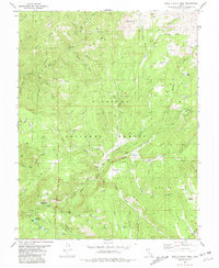
Editions of this 1981 Shelly Baldy Peak Map
2 editions found
Other maps of this area

1885 · Beaver
USGS Topo · 1:250,000

1937 · Delano Peak
USGS Topo · 1:48,000

1943 · Delano Peak
USGS Topo · 1:62,500

1953 · Richfield
USGS Topo · 1:250,000

1954 · Beaver SE
USGS Topo · 1:24,000

1954 · Beaver NE
USGS Topo · 1:24,000

1958 · Richfield
USGS Topo · 1:250,000

1958 · Beaver
USGS Topo · 1:62,500

1966 · Circleville
USGS Topo · 1:24,000
1971 · Kane Canyon
USGS Topo · 1:24,000