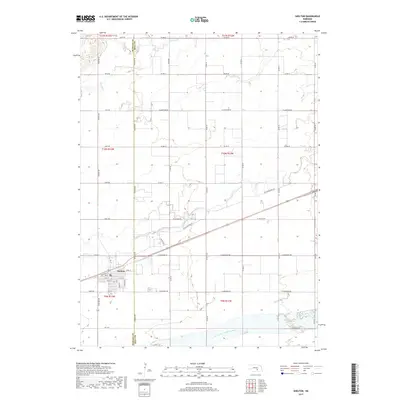
2017 Map of Shelton
USGS Topo · Published 2017About this map
Shelton sits as the primary settlement on this Nebraska landscape, positioned along the vital transport corridor of the Union Pacific railroad. The town's grid is clearly defined by streets such as Railroad St and 3rd St, reflecting its growth as a rail-centered agricultural hub. This survey illustrates the intricate water network that sustains the region, with the Wood River winding through the center and the North Channel Platte River defining the southern reaches. The presence of W Old Military Rd provides a link to the historical transit routes used by early travelers across the plains. Surrounding the town, a strict section-line road system including Wiseman Rd and Shelton Rd organizes the vast agricultural fields, which are occasionally broken by the paths of Prairie Cr and Silver Cr.
Find a feature on this map
53 named features on this map. Tap any name to fly to it.
Don’t see what you’re looking for? This feature index may not catch every label — zoom into the map to look around manually.
Map Details
Editions of this 2017 Shelton Map
This is the sole edition of this map. No revisions or reprints were ever made.
Other maps of this area

1894 · Kenesaw
USGS Topo · 1:62,500

1894 · Minden
USGS Topo · 1:62,500

1895 · Wood River
USGS Topo · 1:62,500

1896 · Wood River
USGS Topo · 1:125,000

1955 · Grand Island
USGS Topo · 1:250,000

1957 · Grand Island
USGS Topo · 1:250,000

1958 · Grand Island
USGS Topo · 1:250,000

1962 · Denman
USGS Topo · 1:24,000

1962 · Prosser
USGS Topo · 1:24,000
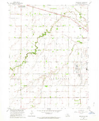
1962 · Shelton NE
USGS Topo · 1:24,000