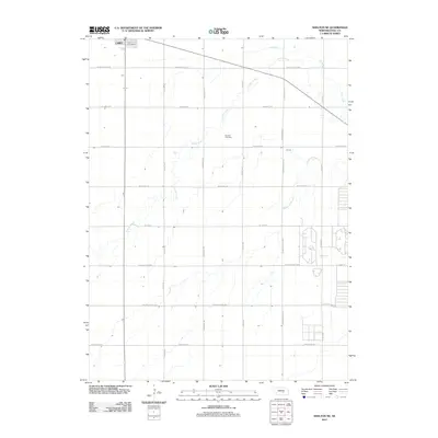
2011 Map of Shelton NE
USGS Topo · Published 2011About this map
Cairo serves as the primary hub in this Hall County landscape, with the Cairo Post Office anchoring the town's small-scale street grid. The surrounding terrain is defined by the gentle meanders of Prairie Creek and Dry Creek, which cut across a strictly surveyed section-line road network. This agricultural region is dotted with local landmarks of historical and practical significance, such as the Burwick Cemetery located central to the quadrangle and the Hickey Lake Dam to the east.
Find a feature on this map
25 named features on this map. Tap any name to fly to it.
Don’t see what you’re looking for? This feature index may not catch every label — zoom into the map to look around manually.
Map Details
Editions of this 2011 Shelton NE Map
This is the sole edition of this map. No revisions or reprints were ever made.
Other maps of this area
1892 · Grand Island
USGS Topo · 1:62,500
1895 · Grand Island
USGS Topo · 1:62,500
1895 · Wood River
USGS Topo · 1:62,500
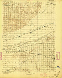
1896 · Wood River
USGS Topo · 1:125,000
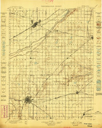
1898 · Grand Island
USGS Topo · 1:125,000
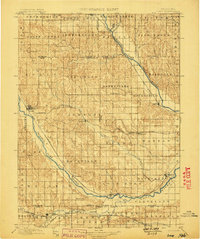
1899 · Loup
USGS Topo · 1:125,000
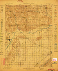
1899 · St. Paul
USGS Topo · 1:125,000
1953 · Dannebrog
USGS Topo · 1:24,000
1953 · Boelus
USGS Topo · 1:24,000
1955 · Broken Bow
USGS Topo · 1:250,000