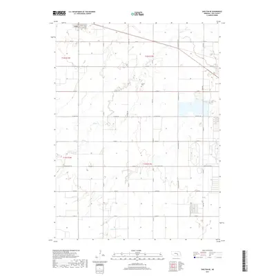
2017 Map of Shelton NE
USGS Topo · Published 2017About this map
Cairo anchors the northwestern corner of this Hall County landscape, where the flat agricultural terrain of central Nebraska is defined by a grid of rural section roads and winding watercourses. The drainage of Prairie Cr and Silver Creek creates subtle shifts in the topography, carving paths through the fields. In the center of the township, Burwick Cem remains a significant point of interest for genealogists, located along N Burwick Rd. The map documents a modern transportation network built upon earlier routes, including the prominent W Old Potash Hwy and W Capital Ave. These thoroughfares, along with names like N Schauppsville Rd, reflect the enduring local history of the farm-to-market economy in the late twenty-first century.
Find a feature on this map
27 named features on this map. Tap any name to fly to it.
Don’t see what you’re looking for? This feature index may not catch every label — zoom into the map to look around manually.
Map Details
Editions of this 2017 Shelton NE Map
This is the sole edition of this map. No revisions or reprints were ever made.
Other maps of this area

1892 · Grand Island
USGS Topo · 1:62,500

1895 · Grand Island
USGS Topo · 1:62,500

1895 · Wood River
USGS Topo · 1:62,500

1896 · Wood River
USGS Topo · 1:125,000

1898 · Grand Island
USGS Topo · 1:125,000

1899 · Loup
USGS Topo · 1:125,000

1899 · St. Paul
USGS Topo · 1:125,000

1953 · Dannebrog
USGS Topo · 1:24,000

1953 · Boelus
USGS Topo · 1:24,000

1955 · Broken Bow
USGS Topo · 1:250,000