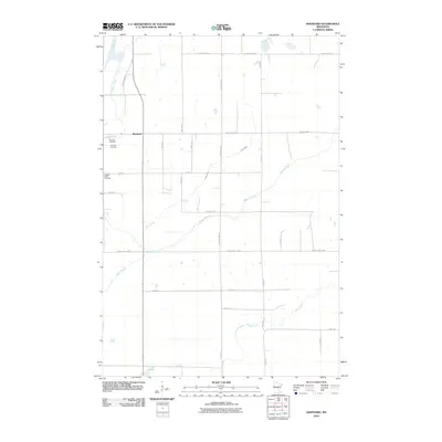
2010 Map of Shephard
USGS Topo · Published 2010About this map
Daggett Brook and the Platte River create a complex network of wetlands and waterways across this rural Morrison County landscape. The small settlement of Shephard sits at a crossroads in the northern portion of the map, serving as a focal point for the surrounding agricultural community. Significant local landmarks include the Pine Tree Cemetery and the Daggett Brook Town Hall, which highlight the civic and genealogical history of this township. The terrain is defined by low-lying areas and water bodies such as Vinegar Lake and the Nokasippi River. A grid of rural roads like Brook Creek Rd and Oxcart Rd SE provides access to the scattered farmsteads and natural features that characterize the region.
Find a feature on this map
30 named features on this map. Tap any name to fly to it.
Don’t see what you’re looking for? This feature index may not catch every label — zoom into the map to look around manually.
Map Details
Editions of this 2010 Shephard Map
This is the sole edition of this map. No revisions or reprints were ever made.
Other maps of this area

1912 · Deerwood
USGS Topo · 1:62,500

1914 · Deerwood
USGS Topo · 1:62,500

1915 · Brainerd
USGS Topo · 1:62,500

1918 · Brainerd
USGS Topo · 1:62,500

1948 · Lastrup
USGS Topo · 1:62,500

1950 · Lastrup
USGS Topo · 1:62,500

1953 · Duluth
USGS Topo · 1:250,000

1953 · Brainerd
USGS Topo · 1:250,000

1957 · Brainerd
USGS Topo · 1:250,000

1958 · Brainerd
USGS Topo · 1:250,000