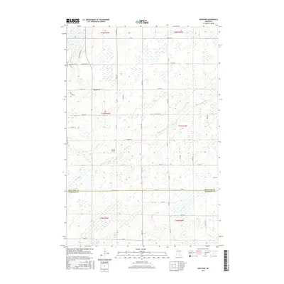
2016 Map of Shephard
USGS Topo · Published 2016About this map
Daggett Brook winds through a landscape of extensive wetlands and small streams at the boundary of Crow Wing and Morrison counties. This 2016 survey captures the rural character of the region, anchored by the small settlement of Shephard and the nearby Barrett Airport. The terrain is defined by its complex hydrology, where Coon Cr and Black Brook feed into a network of marshlands that eventually reach the Platte River.
Find a feature on this map
50 named features on this map. Tap any name to fly to it.
Don’t see what you’re looking for? This feature index may not catch every label — zoom into the map to look around manually.
Map Details
Editions of this 2016 Shephard Map
This is the sole edition of this map. No revisions or reprints were ever made.
Other maps of this area

1912 · Deerwood
USGS Topo · 1:62,500

1914 · Deerwood
USGS Topo · 1:62,500

1915 · Brainerd
USGS Topo · 1:62,500

1918 · Brainerd
USGS Topo · 1:62,500

1948 · Lastrup
USGS Topo · 1:62,500

1950 · Lastrup
USGS Topo · 1:62,500

1953 · Duluth
USGS Topo · 1:250,000

1953 · Brainerd
USGS Topo · 1:250,000

1957 · Brainerd
USGS Topo · 1:250,000

1958 · Brainerd
USGS Topo · 1:250,000