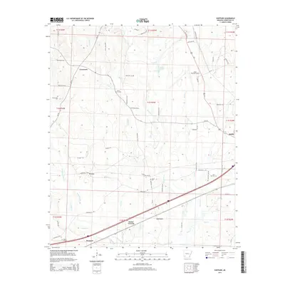
2014 Map of Sheppard
USGS Topo · Published 2014About this map
Sheppard and the surrounding rural landscape of Hempstead County are defined by a network of creeks and small settlements west of Hope. This 2014 survey documents the convergence of several waterways including Sandy Bois d'Arc Cr and Peavine Cr, which drain the low-lying terrain south of the Hope Municipal Airport. Local transit is anchored by a grid of numbered county roads that connect outlying communities like Guernsey, Powers, and Crossroads. Genealogists will find a significant distribution of family and community burial sites, from Westmorland Cem in the west to Saint Mark Cem near the eastern boundary. The presence of Wafers Crossing and Bright Star Cem further illustrates the deeply rooted local history of this Arkansas region, providing a modern look at the persistent boundaries and landmarks of the southwestern Arkansas plains.
Find a feature on this map
73 named features on this map. Tap any name to fly to it.
Don’t see what you’re looking for? This feature index may not catch every label — zoom into the map to look around manually.
Map Details
Editions of this 2014 Sheppard Map
This is the sole edition of this map. No revisions or reprints were ever made.
Other maps of this area

1951 · Blevins
USGS Topo · 1:24,000

1951 · Patmos
USGS Topo · 1:24,000

1951 · Fulton
USGS Topo · 1:24,000

1951 · Columbus
USGS Topo · 1:24,000

1951 · Sheppard
USGS Topo · 1:24,000

1951 · Spring Hill
USGS Topo · 1:24,000

1951 · Washington
USGS Topo · 1:24,000

1951 · Hope
USGS Topo · 1:24,000

1951 · Mc Nab
USGS Topo · 1:24,000

1953 · El Dorado
USGS Topo · 1:250,000