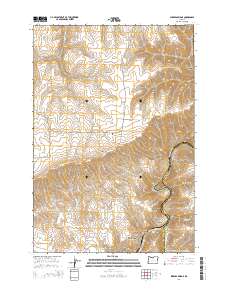
2014 Map of Sherars Bridge
USGS Topo · Published 2014About this map
Sherars Bridge serves as a critical focal point on the Deschutes River where the boundary between Wasco and Sherman counties follows the river’s winding course. This high-plateau landscape is defined by the massive Tygh Ridge, which drops sharply into complex drainage systems like Chicken Spring Canyon and Buck Hollow. The presence of the Warner Cem along Tygh Ridge Rd provides a specific point of interest for genealogists tracing early families in this part of Oregon.
Find a feature on this map
28 named features on this map. Tap any name to fly to it.
Don’t see what you’re looking for? This feature index may not catch every label — zoom into the map to look around manually.
Map Details
Editions of this 2014 Sherars Bridge Map
This is the sole edition of this map. No revisions or reprints were ever made.
Other maps of this area

1930 · Dufur
USGS Topo · 1:125,000

1934 · Dufur
USGS Topo · 1:125,000

1953 · The Dalles
USGS Topo · 1:250,000

1956 · The Dalles
USGS Topo · 1:250,000

1957 · The Dalles
USGS Topo · 1:250,000

1962 · Sherars Bridge
USGS Topo · 1:24,000

1962 · Postage Stamp Butte
USGS Topo · 1:24,000

1962 · Summit Ridge
USGS Topo · 1:24,000

1962 · Dufur East
USGS Topo · 1:24,000

1962 · Sinamox
USGS Topo · 1:24,000