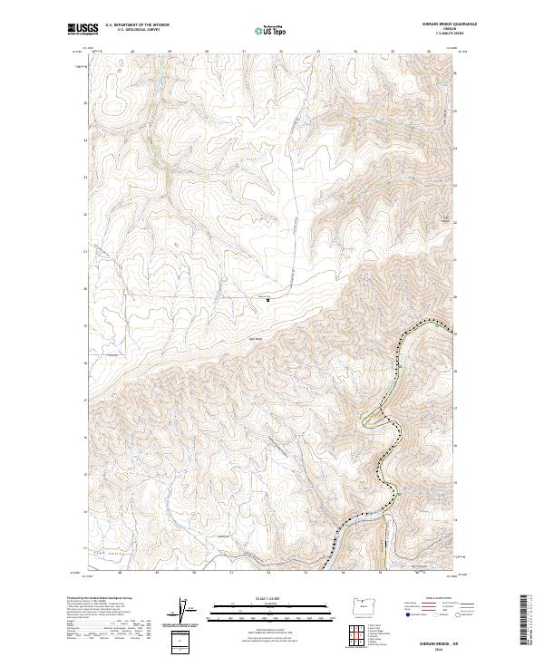
2024 Map of Sherars Bridge
USGS Topo · Published 2024About this map
Tygh Ridge dominates the landscape of this high-desert region, where deep canyons and plateaus meet at the border of Wasco and Sherman counties. The map centers on the winding course of the Deschutes Wild and Scenic River, which carves a dramatic path through the volcanic terrain. Long-established travel routes like Old Tygh Mkt Rd and Sherars Bridge Rd trace the upland ridges and descend toward the river crossings that have historically connected these isolated ranching communities. In the southern portion of the quadrangle, the land drops away into Tygh Valley, a distinct geographical basin fed by seasonal drainages such as Winter-Water Creek. Local history is anchored by the Warner Cem on the ridge, providing a genealogical touchstone for the families who settled this arid country. Numerous drainage systems including Chicken Spring Canyon and Buck Hollow Creek illustrate the complex watershed feeding into the Deschutes.
Find a feature on this map
25 named features on this map. Tap any name to fly to it.
Don’t see what you’re looking for? This feature index may not catch every label — zoom into the map to look around manually.
Map Details
Editions of this 2024 Sherars Bridge Map
This is the sole edition of this map. No revisions or reprints were ever made.
Other maps of this area

1930 · Dufur
USGS Topo · 1:125,000

1934 · Dufur
USGS Topo · 1:125,000

1953 · The Dalles
USGS Topo · 1:250,000

1956 · The Dalles
USGS Topo · 1:250,000

1957 · The Dalles
USGS Topo · 1:250,000

1962 · Sherars Bridge
USGS Topo · 1:24,000

1962 · Postage Stamp Butte
USGS Topo · 1:24,000

1962 · Summit Ridge
USGS Topo · 1:24,000

1962 · Dufur East
USGS Topo · 1:24,000

1962 · Sinamox
USGS Topo · 1:24,000