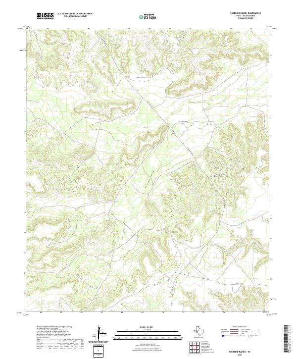
2022 Map of Sherbino Ranch
USGS Topo · Published 2022About this map
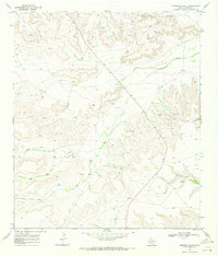
Hoopman Ranch sits along the northern edge of this West Texas terrain, where the arid landscape is defined by the significant path of Fourmile Draw. This 2022 survey illustrates a sparsely settled portion of Pecos County, characterized by winding topographic contours that reveal a series of ridges and dry valleys typical of the region. The map shows the limited but essential transport network serving this remote area, primarily consisting of Ranch Rd 2886 and the connected Co Rd 2886. These routes provide the only primary access through the drainage basin, reflecting the vast distances between established ranching outposts and the dependence on these seasonal watercourses to shape the local geography and land use patterns.
Find a feature on this map
4 named features on this map. Tap any name to fly to it.
Don’t see what you’re looking for? This feature index may not catch every label — zoom into the map to look around manually.
Map Details
Editions of this 2022 Sherbino Ranch Map
This is the sole edition of this map. No revisions or reprints were ever made.
Other maps of this area

1929 · Independence Draw Quadrangle
USGS Topo · 1:125,000

1954 · Fort Stockton
USGS Topo · 1:250,000

1958 · Fort Stockton
USGS Topo · 1:250,000
1969 · Smoky Mountain Ranch
USGS Topo · 1:24,000

1969 · Hackberry Draw NE
USGS Topo · 1:24,000
1969 · Hat-A Ranch
USGS Topo · 1:24,000

1969 · Indian Mesa
USGS Topo · 1:24,000
1969 · Indian Mesa SE
USGS Topo · 1:24,000

1969 · Bakersfield
USGS Topo · 1:24,000
1969 · Sherbino Ranch
USGS Topo · 1:24,000