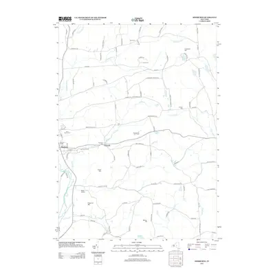
2013 Map of Sherburne
USGS Topo · Published 2013About this map
The Chenango River valley anchors this study of central New York, where the village of Sherburne serves as the primary hub of activity. The landscape is defined by its transition from fertile river bottoms to elevated terrain like Hunts Mtn and Sugarloaf Mtn. A network of rural cemeteries, including Saint Malachy Cem and Harrisville Cem, provides essential points of reference for genealogists tracing early families in the region.
Find a feature on this map
89 named features on this map. Tap any name to fly to it.
Don’t see what you’re looking for? This feature index may not catch every label — zoom into the map to look around manually.
Map Details
Editions of this 2013 Sherburne Map
This is the sole edition of this map. No revisions or reprints were ever made.
Other maps of this area

1902 · Morrisville
USGS Topo · 1:62,500

1903 · Norwich
USGS Topo · 1:62,500

1907 · Sangerfield
USGS Topo · 1:62,500

1910 · New Berlin
USGS Topo · 1:62,500

1912 · New Berlin
USGS Topo · 1:62,500

1943 · New Berlin North
USGS Topo · 1:24,000

1943 · New Berlin South
USGS Topo · 1:24,000

1943 · Hubbardsville
USGS Topo · 1:24,000

1943 · Sangerfield
USGS Topo · 1:62,500
1943 · Brookfield
USGS Topo · 1:24,000