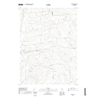
2019 Map of Sherburne
USGS Topo · Published 2019About this map
Sherburne anchors the valley of the Chenango River in this modern topographical study, showing the persistent settlement patterns of the Madison and Chenango County line. The village is defined by its historic grid including S Main St and E State St, leading east toward Rexford Falls and the neighboring hamlet of Harrisville. This landscape is marked by numerous family and community burial grounds, such as Saint Malachy Cem and East Hill Cem, which offer significant data points for genealogical research in this rural corridor.
Find a feature on this map
85 named features on this map. Tap any name to fly to it.
Don’t see what you’re looking for? This feature index may not catch every label — zoom into the map to look around manually.
Map Details
Editions of this 2019 Sherburne Map
This is the sole edition of this map. No revisions or reprints were ever made.
Other maps of this area
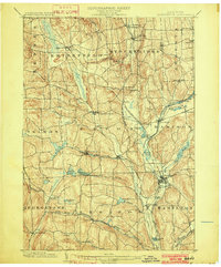
1902 · Morrisville
USGS Topo · 1:62,500
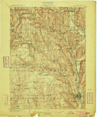
1903 · Norwich
USGS Topo · 1:62,500
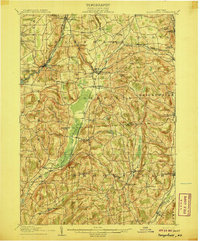
1907 · Sangerfield
USGS Topo · 1:62,500
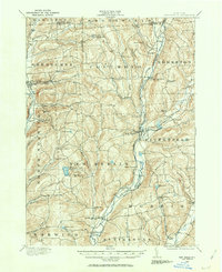
1910 · New Berlin
USGS Topo · 1:62,500
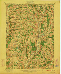
1912 · New Berlin
USGS Topo · 1:62,500
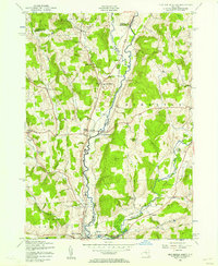
1943 · New Berlin North
USGS Topo · 1:24,000
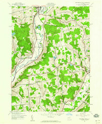
1943 · New Berlin South
USGS Topo · 1:24,000
1943 · Hubbardsville
USGS Topo · 1:24,000
1943 · Sangerfield
USGS Topo · 1:62,500
1943 · Brookfield
USGS Topo · 1:24,000