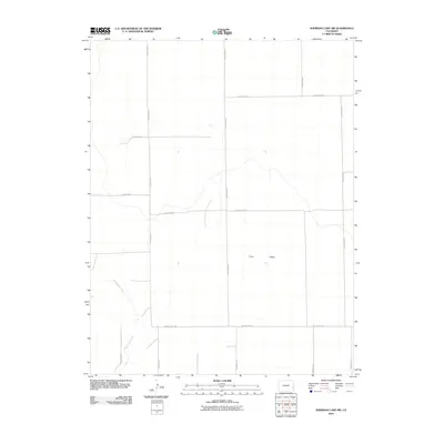
2010 Map of Sheridan Lake SW
USGS Topo · Published 2010About this map
Big Sandy Creek meanders through this portion of Prowers County, carving a subtle path across the high plains of Eastern Colorado. The landscape is defined by the expansive Coon Valley and a rigid grid of rural infrastructure, reflecting the late 20th-century agricultural organization of the region. A network of arterial routes, including County Hwy WW and County Road A, connects the sparsely populated sections. This 2010 U.S. Geological Survey topographic map illustrates the intersection of natural drainage systems and human engineering, where long-established section lines like County Road D and County Road G dictate the movement across the terrain. The map serves as a clear record of the spatial distribution of ranching or farming tracts in the decade following the turn of the millennium.
Find a feature on this map
17 named features on this map. Tap any name to fly to it.
Don’t see what you’re looking for? This feature index may not catch every label — zoom into the map to look around manually.
Map Details
Editions of this 2010 Sheridan Lake SW Map
This is the sole edition of this map. No revisions or reprints were ever made.
Other maps of this area

1890 · Granada
USGS Topo · 1:125,000

1892 · Lamar
USGS Topo · 1:125,000

1892 · Granada
USGS Topo · 1:125,000

1894 · Granada
USGS Topo · 1:125,000

1954 · Lamar
USGS Topo · 1:250,000

1955 · Granada NW
USGS Topo · 1:24,000

1955 · Granada NE
USGS Topo · 1:24,000

1955 · May Valley
USGS Topo · 1:24,000

1958 · Lamar
USGS Topo · 1:250,000

1968 · Sheridan Lake
USGS Topo · 1:24,000