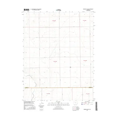
2016 Map of Sheridan Lake SW
USGS Topo · Published 2016About this map
Big Sandy Creek winds through the southwestern corner of this High Plains landscape, marking a distinct break in the otherwise regular grid of county roads. The terrain is defined by broad drainages such as Coon Valley, which cuts across the central portion of the map. This area spans the border between Kiowa Co and Prowers Co, capturing a rural region shaped by the Public Land Survey System. The infrastructure is primarily composed of a network of section-line roads, including Co Rd 57 and Co Rd G, which facilitate access to the surrounding agricultural and ranching lands. This survey provides a clear view of the topographical transitions and land divisions in eastern Colorado during the early twenty-first century.
Find a feature on this map
22 named features on this map. Tap any name to fly to it.
Don’t see what you’re looking for? This feature index may not catch every label — zoom into the map to look around manually.
Map Details
Editions of this 2016 Sheridan Lake SW Map
This is the sole edition of this map. No revisions or reprints were ever made.
Other maps of this area

1890 · Granada
USGS Topo · 1:125,000

1892 · Lamar
USGS Topo · 1:125,000

1892 · Granada
USGS Topo · 1:125,000

1894 · Granada
USGS Topo · 1:125,000

1954 · Lamar
USGS Topo · 1:250,000

1955 · Granada NW
USGS Topo · 1:24,000

1955 · Granada NE
USGS Topo · 1:24,000

1955 · May Valley
USGS Topo · 1:24,000

1958 · Lamar
USGS Topo · 1:250,000

1968 · Sheridan Lake
USGS Topo · 1:24,000