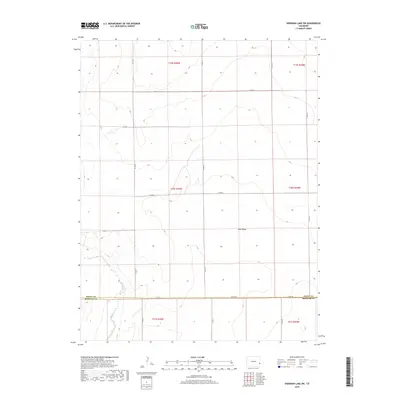
2019 Map of Sheridan Lake SW
USGS Topo · Published 2019About this map
Big Sandy Cr winds through the southwestern corner of this landscape, marking a distinct hydrological break in an otherwise geometric grid of section lines and gravel roads. Located along the border where Kiowa Co meets Prowers Co, the terrain is defined by broad drainage features like Coon Valley and a systematic network of thoroughfares including Co Rd G and Co Rd 57. The map illustrates the late-20th and early-21st-century agricultural organization of the High Plains, where vast tracts are partitioned into townships like t20s r45w. For researchers, the survey captures the exact placement of rural infrastructure and the persistent course of intermittent waterways that have shaped land use in this corner of Colorado for generations.
Find a feature on this map
22 named features on this map. Tap any name to fly to it.
Don’t see what you’re looking for? This feature index may not catch every label — zoom into the map to look around manually.
Map Details
Editions of this 2019 Sheridan Lake SW Map
This is the sole edition of this map. No revisions or reprints were ever made.
Other maps of this area

1890 · Granada
USGS Topo · 1:125,000

1892 · Lamar
USGS Topo · 1:125,000

1892 · Granada
USGS Topo · 1:125,000

1894 · Granada
USGS Topo · 1:125,000

1954 · Lamar
USGS Topo · 1:250,000

1955 · Granada NW
USGS Topo · 1:24,000

1955 · Granada NE
USGS Topo · 1:24,000

1955 · May Valley
USGS Topo · 1:24,000

1958 · Lamar
USGS Topo · 1:250,000

1968 · Sheridan Lake
USGS Topo · 1:24,000