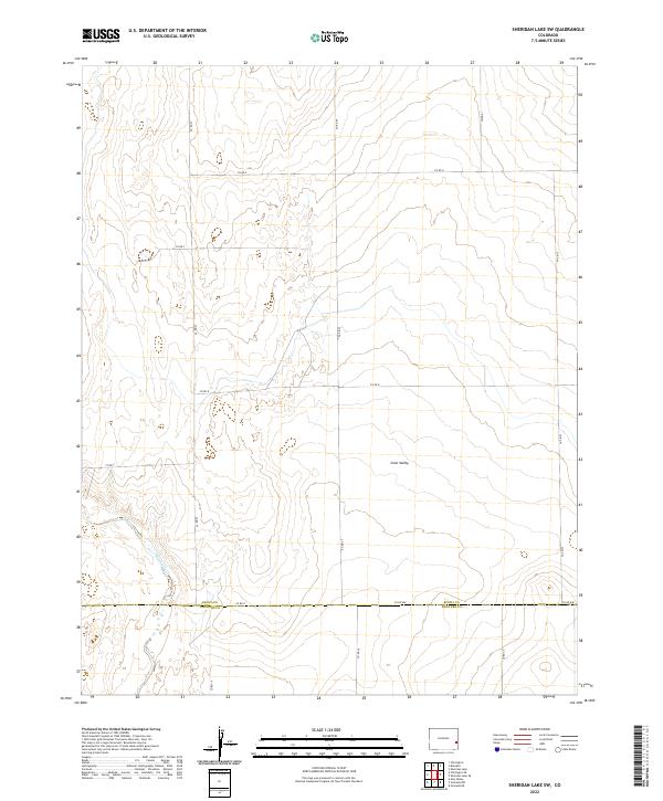
2022 Map of Sheridan Lake SW
USGS Topo · Published 2022About this map
The border of Kiowa Co and Prowers Co bisects this landscape of the High Plains, where the terrain is defined by the ephemeral drainage of Big Sandy Cr. This arid region in eastern Colorado is characterized by a sprawling grid of county roads, including Co RD 57 and Co RD 59, which navigate the subtle elevations and depressions of the prairie. The most significant landform is Coon Valley, a wide drainage basin that cuts through the central portion of the map, illustrating the natural water-carved geography of the area. This survey by the U.S. Geological Survey provides a detailed record of the Public Land Survey System divisions, marking the townships and ranges like t20s r45w that shaped the settlement and agricultural development of this sparsely populated ranching country.
Find a feature on this map
22 named features on this map. Tap any name to fly to it.
Don’t see what you’re looking for? This feature index may not catch every label — zoom into the map to look around manually.
Map Details
Editions of this 2022 Sheridan Lake SW Map
This is the sole edition of this map. No revisions or reprints were ever made.
Other maps of this area

1890 · Granada
USGS Topo · 1:125,000

1892 · Lamar
USGS Topo · 1:125,000

1892 · Granada
USGS Topo · 1:125,000

1894 · Granada
USGS Topo · 1:125,000

1954 · Lamar
USGS Topo · 1:250,000

1955 · Granada NW
USGS Topo · 1:24,000

1955 · Granada NE
USGS Topo · 1:24,000

1955 · May Valley
USGS Topo · 1:24,000

1958 · Lamar
USGS Topo · 1:250,000

1968 · Sheridan Lake
USGS Topo · 1:24,000