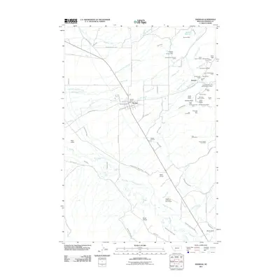
2011 Map of Sheridan
USGS Topo · Published 2011About this map
The town of Sheridan serves as the focal point for this Madison County valley, where the town grid meets a complex network of agricultural irrigation and hard-rock mining. The landscape is defined by the Ruby River and a dense system of man-made waterways like the Vigilante Canal, Durham Ditch, and Marshall Ditch Number Three, which support ranching in the Ruby Valley. This survey captures a region where industry and geography are deeply intertwined, evidenced by the numerous mining claims dotting the eastern foothills. From the Brandon settlement area to the outskirts near Sheridan Cemetery, the map reveals a history of resource extraction through named sites such as the Fort Knox Mine, Big Chief Mine, and the Buckeye Mine. Transport is facilitated by local routes like Mill Creek Rd and the Tezaks-Colterville Spur Airport, reflecting the area's role as a regional hub for the surrounding gulches and canyons.
Find a feature on this map
88 named features on this map. Tap any name to fly to it.
Don’t see what you’re looking for? This feature index may not catch every label — zoom into the map to look around manually.
Map Details
Editions of this 2011 Sheridan Map
This is the sole edition of this map. No revisions or reprints were ever made.
Other maps of this area

1893 · Dillon
USGS Topo · 1:250,000

1955 · Dillon
USGS Topo · 1:250,000

1957 · Dillon
USGS Topo · 1:250,000

1958 · Dillon
USGS Topo · 1:250,000

1960 · Twin Bridges
USGS Topo · 1:62,500

1960 · Waterloo
USGS Topo · 1:62,500

1961 · Beaverhead Rock SE
USGS Topo · 1:24,000

1962 · Dillon
USGS Topo · 1:250,000
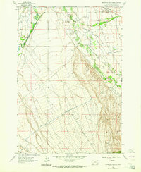
1962 · Beaverhead Rock NE
USGS Topo · 1:24,000
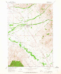
1963 · Sheridan
USGS Topo · 1:24,000