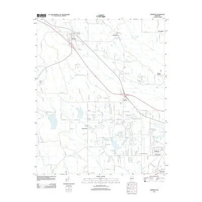
2012 Map of Sherman
USGS Topo · Published 2012About this map
Sherman anchors the northwest corner of this landscape, where the local road network fans out from Town Cr. The area is defined by its transition from agricultural fields to the expanding suburbs of the Tupelo vicinity, particularly near the Tupelo Regional Airport. Throughout the terrain, numerous burial grounds like Old Macedonia Cem, Union Cem, and the unique Memorial Park Animal Cem offer valuable touchpoints for genealogists and local historians. To the southeast, the residential developments of Wildwood, Tracewood, and Traceland represent more modern growth patterns. The drainage system of Busfaloba Cr and Little Coonewah Cr winds through the central and eastern sections, dictating the placement of secondary routes like Chesterville Rd and the small crossroads at Chesterville.
Find a feature on this map
172 named features on this map. Tap any name to fly to it.
Don’t see what you’re looking for? This feature index may not catch every label — zoom into the map to look around manually.
Map Details
Editions of this 2012 Sherman Map
This is the sole edition of this map. No revisions or reprints were ever made.
Other maps of this area

1921 · Tupelo
USGS Topo · 1:48,000

1923 · Tupelo
USGS Topo · 1:62,500

1955 · Sherman
USGS Topo · 1:62,500

1956 · Tupelo
USGS Topo · 1:250,000

1958 · Tupelo
USGS Topo · 1:250,000

1966 · Troy NW
USGS Topo · 1:24,000

1966 · Bissell
USGS Topo · 1:24,000

1966 · Verona
USGS Topo · 1:24,000

1973 · Guntown
USGS Topo · 1:24,000
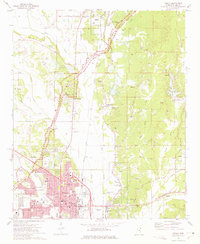
1973 · Tupelo
USGS Topo · 1:24,000