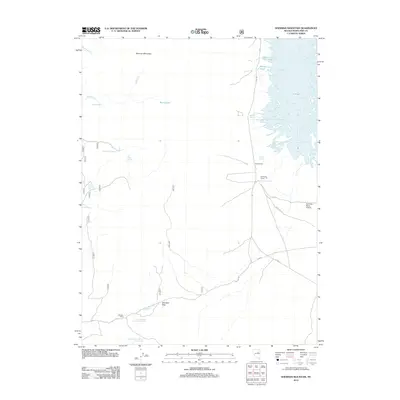
2012 Map of Sherman Mountain
USGS Topo · Published 2012About this map
Sherman Mountain dominates the northwestern reaches of this White Pine County landscape, where the high desert meets a complex network of springs and seasonal water bodies. This 2012 survey reveals a remote ranching environment characterized by isolated outposts like the Davis Ranch and the Johnson Cabin. To the east, the terrain transitions into a unique wetland system including Banana Pond, Brush Pile Pond, and the unusually shaped Y Pond. The local infrastructure is sparse, defined primarily by rugged routes such as Overland Rd and CO Hwy-788, which connect these distant mountain passes to the valley floors. Evidence of specialized land use appears at the Fort Ruby Ranch Airstrip, situated near Fort Ruby Spring. The map provides a detailed view of essential water sources for the region, from Waterspout Spring to the numbered Cracker Johnson Spring sites, which have long been critical to survival in this arid Nevada territory.
Find a feature on this map
28 named features on this map. Tap any name to fly to it.
Don’t see what you’re looking for? This feature index may not catch every label — zoom into the map to look around manually.
Map Details
Editions of this 2012 Sherman Mountain Map
This is the sole edition of this map. No revisions or reprints were ever made.
Other maps of this area

1934 · Jiggs
USGS Topo · 1:125,000

1937 · Jiggs
USGS Topo · 1:125,000

1955 · Elko
USGS Topo · 1:250,000

1956 · Ely
USGS Topo · 1:250,000

1957 · Cold Creek Ranch
USGS Topo · 1:62,500

1958 · Elko
USGS Topo · 1:250,000

1959 · Ely
USGS Topo · 1:250,000

1959 · Sherman Mtn
USGS Topo · 1:62,500

1962 · Elko
USGS Topo · 1:250,000

1963 · Ely
USGS Topo · 1:250,000