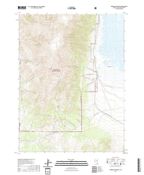
2021 Map of Sherman Mountain
USGS Topo · Published 2021About this map
The Ruby Mountains dominate this high-altitude landscape, where the steep slopes of Sherman Mtn transition sharply into the marshes of the Ruby Lake National Wildlife Refuge. This intersection of alpine terrain and wetland creates a distinct ecological boundary, evidenced by the numerous water bodies like Banana Pond, Brush Pile Pond, and Y Pond that dot the valley floor. The map highlights a long history of human occupation and water management through features like Cracker Johnson Spring Number Two and the South Fort Ruby Ranch Site.
Find a feature on this map
64 named features on this map. Tap any name to fly to it.
Don’t see what you’re looking for? This feature index may not catch every label — zoom into the map to look around manually.
Map Details
Editions of this 2021 Sherman Mountain Map
This is the sole edition of this map. No revisions or reprints were ever made.
Other maps of this area

1934 · Jiggs
USGS Topo · 1:125,000

1937 · Jiggs
USGS Topo · 1:125,000

1955 · Elko
USGS Topo · 1:250,000

1956 · Ely
USGS Topo · 1:250,000

1957 · Cold Creek Ranch
USGS Topo · 1:62,500

1958 · Elko
USGS Topo · 1:250,000

1959 · Ely
USGS Topo · 1:250,000

1959 · Sherman Mtn
USGS Topo · 1:62,500

1962 · Elko
USGS Topo · 1:250,000

1963 · Ely
USGS Topo · 1:250,000