
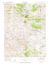
1948 Map of Sherman Mountains
USGS Topo · Published 1958About this map
Medicine Bow National Forest dominates this Wyoming landscape, where the high-altitude terrain of the Sherman Mountains meets the infrastructure of the Union Pacific railroad. The map documents a rugged transition where early twentieth-century ranching and military presence converge. Evidence of the region's ranching heritage is visible in the numerous family holdings, such as K P Ranch (Lindstroms Ranch) and Lady Heart 9 Ranch, which are interspersed between granite outcrops like Turtle Rock and the recreation areas at Vedauwoo Glen.
Find a feature on this map
60 named features on this map. Tap any name to fly to it.
Don’t see what you’re looking for? This feature index may not catch every label — zoom into the map to look around manually.
Map Details
Editions of this 1948 Sherman Mountains Map
2 editions found
Other maps of this area

1895 · Laramie
USGS Topo · 1:125,000

1902 · Laramie
USGS Topo · 1:125,000

1905 · Sherman
USGS Topo · 1:125,000

1905 · Laramie
USGS Topo · 1:125,000

1906 · Laramie
USGS Topo · 1:125,000

1907 · Livermore
USGS Topo · 1:125,000

1908 · Laramie
USGS Topo · 1:125,000

1909 · Livermore
USGS Topo · 1:125,000

1916 · Home
USGS Topo · 1:125,000

1920 · Home
USGS Topo · 1:125,000