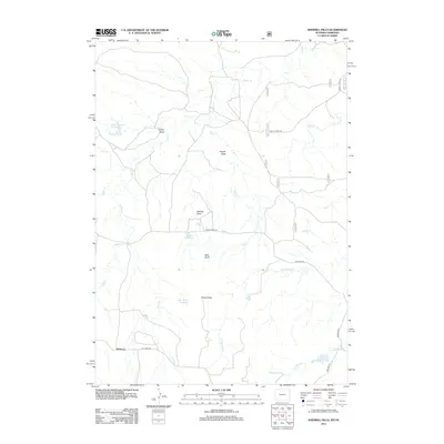
2012 Map of Sherrill Hills
USGS Topo · Published 2012About this map
Sherrill Hills and Bald Butte define this high plains landscape along the Wyoming-Nebraska border, where water management is central to the land's utility. Numerous man-made features like Keel Stock Reservoir, Swope Reservoir, and Turner Number 1 Reservoir are distributed across the terrain, indicating a ranching economy dependent on captured seasonal runoff. The small settlement of Whitman sits in the southwestern corner near the junction of Hat Creek Rd and Whitman Rd, serving as a local anchor in an otherwise sparsely populated area. The drainage network is complex, characterized by erosional features such as Delores Draw, Swope Draw, and Turner Draw, which feed into various branches of Indian Cr and Sage Cr. This 2012 survey illustrates the modern road network, including Indian Creek Rd and Schnurr Rd, which navigate the various draws and hills of this borderland region.
Find a feature on this map
25 named features on this map. Tap any name to fly to it.
Don’t see what you’re looking for? This feature index may not catch every label — zoom into the map to look around manually.
Map Details
Editions of this 2012 Sherrill Hills Map
This is the sole edition of this map. No revisions or reprints were ever made.
Other maps of this area

1902 · Edgemont
USGS Topo · 1:125,000

1954 · Torrington
USGS Topo · 1:250,000

1955 · Hot Springs
USGS Topo · 1:250,000

1955 · Newcastle
USGS Topo · 1:250,000

1955 · Alliance
USGS Topo · 1:250,000

1957 · Alliance
USGS Topo · 1:250,000

1958 · Torrington
USGS Topo · 1:250,000

1958 · Alliance
USGS Topo · 1:250,000

1958 · Newcastle
USGS Topo · 1:250,000

1978 · Shepherds Point
USGS Topo · 1:24,000