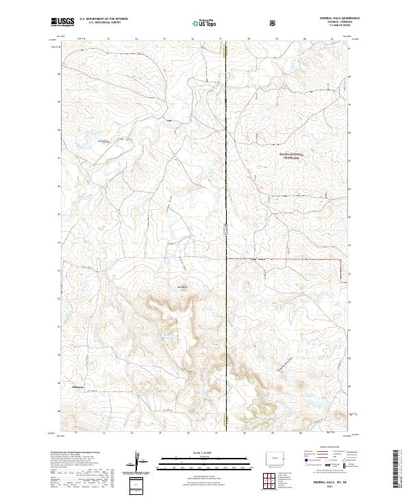
2021 Map of Sherrill Hills
USGS Topo · Published 2021About this map
The Oglala National Grassland straddles the border of Wyoming and Nebraska in this high-plains region, where ranching and water management define the landscape. Near the settlement of Whitman, a complex network of stock ponds and water storage systems like Swope Reservoir and Keel Stock Reservoir are scattered across the drainage basins of Indian Cr and N Antelope Cr. The topography is marked by significant landmarks including the Sherrill Hills and the prominent Bald Butte. The land use here is evidenced by numerous named geographic features such as Grandma Davis Draw and Delores Draw, which channel seasonal runoff toward larger basins. This survey provides a modern look at rural infrastructure, showing the relationship between historic county roads like Hat Creek Rd and the vital water resources required for agriculture in this arid environment.
Find a feature on this map
32 named features on this map. Tap any name to fly to it.
Don’t see what you’re looking for? This feature index may not catch every label — zoom into the map to look around manually.
Map Details
Editions of this 2021 Sherrill Hills Map
This is the sole edition of this map. No revisions or reprints were ever made.
Other maps of this area

1902 · Edgemont
USGS Topo · 1:125,000

1954 · Torrington
USGS Topo · 1:250,000

1955 · Hot Springs
USGS Topo · 1:250,000

1955 · Newcastle
USGS Topo · 1:250,000

1955 · Alliance
USGS Topo · 1:250,000

1957 · Alliance
USGS Topo · 1:250,000

1958 · Torrington
USGS Topo · 1:250,000

1958 · Alliance
USGS Topo · 1:250,000

1958 · Newcastle
USGS Topo · 1:250,000

1978 · Shepherds Point
USGS Topo · 1:24,000