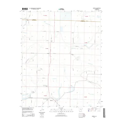
2014 Map of Sherrill
USGS Topo · Published 2014About this map
Sherrill anchors the southern edge of this Arkansas Delta landscape, where a dense network of drainage canals and bayous supports a legacy of intensive agriculture. The township structure is defined by the winding course of Wabbaseka Bayou and numerous numbered laterals, such as Lateral Number 8 and Lateral Number 4, which crisscross the low-lying terrain. The map captures the small-scale aviation infrastructure essential to modern farming, featuring Tommy's Flying Service Inc Airport and Smith's International Airport near the Jefferson County line.
Find a feature on this map
101 named features on this map. Tap any name to fly to it.
Don’t see what you’re looking for? This feature index may not catch every label — zoom into the map to look around manually.
Map Details
Editions of this 2014 Sherrill Map
This is the sole edition of this map. No revisions or reprints were ever made.
Other maps of this area

1891 · Little Rock
USGS Topo · 1:125,000

1893 · Little Rock
USGS Topo · 1:125,000

1932 · Pastoria
USGS Topo · 1:62,500

1935 · Altheimer
USGS Topo · 1:62,500

1935 · Pastoria
USGS Topo · 1:62,500

1937 · England
USGS Topo · 1:48,000

1939 · Keo
USGS Topo · 1:31,680

1941 · Keo
USGS Topo · 1:31,680

1943 · England
USGS Topo · 1:62,500

1948 · Helena
USGS Topo · 1:250,000