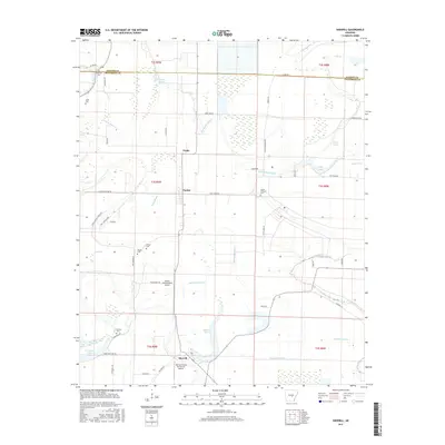
2017 Map of Sherrill
USGS Topo · Published 2017About this map
The agricultural wetlands of the Arkansas Delta define this landscape, where the Lonoke Co and Jefferson Co line divides a territory of bayous and engineered drainage. The settlement of Sherrill sits in the south, anchored by Tommy's Flying Service Inc Airport, reflecting the region's reliance on aerial application for its vast field crops. Further north, the smaller communities of Tucker and Ferda are surrounded by a complex network of ditches like Lateral Number 8 and Lateral Number 7, which manage the low-lying terrain near the winding path of Wabbaseka Bayou.
Find a feature on this map
61 named features on this map. Tap any name to fly to it.
Don’t see what you’re looking for? This feature index may not catch every label — zoom into the map to look around manually.
Map Details
Editions of this 2017 Sherrill Map
This is the sole edition of this map. No revisions or reprints were ever made.
Other maps of this area

1891 · Little Rock
USGS Topo · 1:125,000

1893 · Little Rock
USGS Topo · 1:125,000

1932 · Pastoria
USGS Topo · 1:62,500

1935 · Altheimer
USGS Topo · 1:62,500

1935 · Pastoria
USGS Topo · 1:62,500

1937 · England
USGS Topo · 1:48,000

1939 · Keo
USGS Topo · 1:31,680

1941 · Keo
USGS Topo · 1:31,680

1943 · England
USGS Topo · 1:62,500

1948 · Helena
USGS Topo · 1:250,000