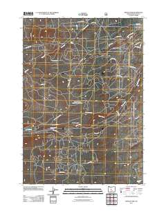
2011 Map of Shevlin Park
USGS Topo · Published 2011About this map
Shevlin Park and the canyons of Tumalo Creek dominate this central Oregon landscape, showing the transition from canyon bottoms to the timbered uplands west of Bend. This 2011 survey records a network of forest roads and historical logging routes, such as the B-S Logging Rd and Columbia Southern Rd, which trace the legacy of early 20th-century resource extraction. The presence of Pernot Meadow and Fremont Meadow indicates the importance of these natural clearings in an otherwise densely wooded and dissected terrain. Water resources are central to the geography here, with Bull Spring feeding into Bull Creek and the Deschutes River appearing at the southeastern corner. This map provides a detailed view of the infrastructure supporting both recreation and forest management, from Skyliners Rd to the fire-related history suggested by Big Burn Rd.
Find a feature on this map
27 named features on this map. Tap any name to fly to it.
Don’t see what you’re looking for? This feature index may not catch every label — zoom into the map to look around manually.
Map Details
Editions of this 2011 Shevlin Park Map
This is the sole edition of this map. No revisions or reprints were ever made.
Other maps of this area
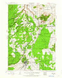
1926 · Bend
USGS Topo · 1:125,000
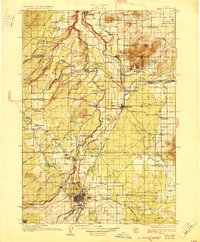
1929 · Bend
USGS Topo · 1:125,000
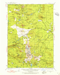
1929 · Three Sisters
USGS Topo · 1:125,000
1930 · Maiden Peak
USGS Topo · 1:125,000
1931 · Newberry Crater
USGS Topo · 1:125,000
1932 · Three Sisters
USGS Topo · 1:125,000
1934 · Maiden Peak
USGS Topo · 1:125,000
1935 · Newberry Crater
USGS Topo · 1:125,000
1955 · Crescent
USGS Topo · 1:250,000
1955 · Bend
USGS Topo · 1:250,000