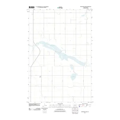
2011 Map of Sheyenne Lake
USGS Topo · Published 2011About this map
The upper reaches of the Sheyenne River define this rural Sheridan County landscape, where the water flows through a chain of prairie wetlands including Sheyenne Lake and the elongated Coal Mine Lake. The terrain is marked by a rigid grid of section roads like 23rd St NE and 15th Ave NE, reflecting the enduring agricultural structure of the North Dakota plains. At a quiet intersection in the southwestern portion of the quadrangle lies Saint Emanuel Cemetery, a significant point for genealogists tracing the heritage of early regional settlers. Near the center of the survey, Lone Tree Lake sits isolated among the fields, illustrating the characteristic drainage patterns and pothole lakes common to this part of the state in the early 21st century.
Find a feature on this map
18 named features on this map. Tap any name to fly to it.
Don’t see what you’re looking for? This feature index may not catch every label — zoom into the map to look around manually.
Map Details
Editions of this 2011 Sheyenne Lake Map
This is the sole edition of this map. No revisions or reprints were ever made.
Other maps of this area

1930 · Drake
USGS Topo · 1:62,500

1940 · Aylmer
USGS Topo · 1:62,500

1946 · Sheyenne Lake
USGS Topo · 1:48,000

1947 · Lincoln Valley
USGS Topo · 1:62,500

1947 · Sheyenne Lake
USGS Topo · 1:62,500

1950 · Sheyenne Lake NE
USGS Topo · 1:24,000

1950 · Sheyenne Lake
USGS Topo · 1:24,000

1951 · Martin
USGS Topo · 1:24,000

1951 · Anamoose SW
USGS Topo · 1:24,000

1954 · McClusky
USGS Topo · 1:250,000