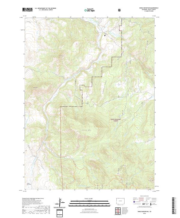
2022 Map of Shield Mountain
USGS Topo · Published 2022About this map
Shield Mtn and Deadhorse Ridge define the high-country terrain of northern Colorado within the Routt National Forest. This landscape is characterized by the complex drainage network of the Little Snake River, where the Middle Fork and South Fork converge amidst high peaks like Three Forks Mtn and Piney Mtn. The map reveals a land utilized for both its natural resources and its remote backcountry access, featuring an extensive system of trails such as the Burton Creek Trl, Oliver Creek Trl, and the Nipple Peak Trl. A rare point of cultural history in this wilderness is the Three Forks Cem, located near the river forks along Co Rte 129, marking early high-altitude settlement or ranching presence in the region.
Find a feature on this map
33 named features on this map. Tap any name to fly to it.
Don’t see what you’re looking for? This feature index may not catch every label — zoom into the map to look around manually.
Map Details
Editions of this 2022 Shield Mountain Map
This is the sole edition of this map. No revisions or reprints were ever made.
Other maps of this area

1911 · Hahns Peak
USGS Topo · 1:125,000

1913 · Hahns Peak
USGS Topo · 1:125,000

1932 · Savery
USGS Topo · 1:96,000

1939 · Saratoga
USGS Topo · 1:125,000

1940 · Savery
USGS Topo · 1:125,000

1954 · Rawlins
USGS Topo · 1:250,000

1954 · Craig
USGS Topo · 1:250,000

1957 · Craig
USGS Topo · 1:250,000

1958 · Rawlins
USGS Topo · 1:250,000

1958 · Craig
USGS Topo · 1:250,000