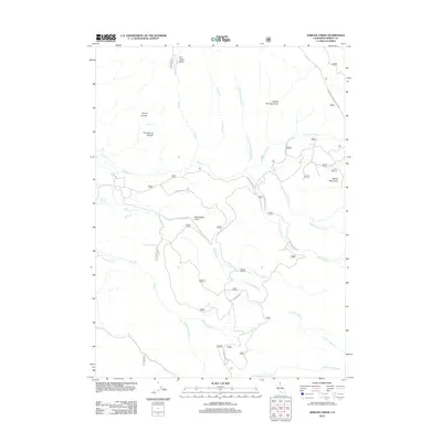
2012 Map of Shields Creek
USGS Topo · Published 2012About this map
The Warner Mountains dominate this high-country landscape in Modoc County, defined by a complex network of seasonal drainages and vital water sources in an otherwise arid region. The map documents the intricate branching of watercourses such as Shields Creek, which includes the North Fork and South Fork Shields Creek, alongside the various forks of Parker Creek and Pine Creek. These systems are punctuated by essential springs like Fitzhugh Springs, Pine Spring, and Fern Spring, which likely served as critical stops for early travelers and cattlemen. Transport through this high terrain is dictated by the Warner Mountain Ridge Line and local routes such as W Warner Road and Parker Creek Road. The presence of the Porter Reservoir and the Dry Creek Basin reflects the region's historical and ongoing reliance on managed water resources for ranching or forestry.
Find a feature on this map
31 named features on this map. Tap any name to fly to it.
Don’t see what you’re looking for? This feature index may not catch every label — zoom into the map to look around manually.
Map Details
Editions of this 2012 Shields Creek Map
This is the sole edition of this map. No revisions or reprints were ever made.
Other maps of this area

1886 · Alturas
USGS Topo · 1:250,000

1892 · Alturas
USGS Topo · 1:250,000

1954 · Alturas
USGS Topo · 1:250,000

1958 · Alturas
USGS Topo · 1:250,000

1962 · Alturas
USGS Topo · 1:250,000

1962 · Davis Creek
USGS Topo · 1:62,500

1962 · Cedarville
USGS Topo · 1:62,500

1963 · Warren Peak
USGS Topo · 1:24,000

1963 · Little Juniper Reservoir
USGS Topo · 1:24,000

1963 · Shields Creek
USGS Topo · 1:24,000