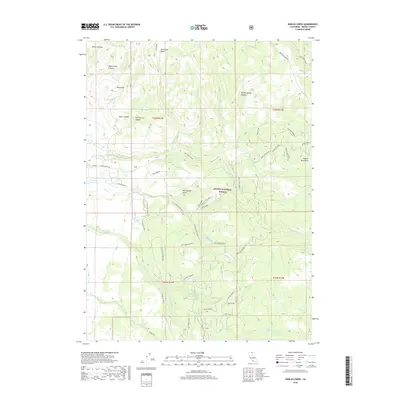
2018 Map of Shields Creek
USGS Topo · Published 2018About this map
The high eastern slopes of the Warner Mountains dominate this 2018 survey, defining a landscape of high-altitude drainages and forest service corridors. Much of the terrain lies within the Modoc National Forest, where a complex network of forest roads like Parker Creek Rd and various timber or fire spurs—including the West Warner School Section Spur—provide access to remote canyons. Water sources are critical landmarks in this high country, evidenced by the presence of Fitzhugh Springs, Pine Spring, and the Porter Reservoir.
Find a feature on this map
57 named features on this map. Tap any name to fly to it.
Don’t see what you’re looking for? This feature index may not catch every label — zoom into the map to look around manually.
Map Details
Editions of this 2018 Shields Creek Map
This is the sole edition of this map. No revisions or reprints were ever made.
Other maps of this area

1886 · Alturas
USGS Topo · 1:250,000

1892 · Alturas
USGS Topo · 1:250,000

1954 · Alturas
USGS Topo · 1:250,000

1958 · Alturas
USGS Topo · 1:250,000

1962 · Alturas
USGS Topo · 1:250,000

1962 · Davis Creek
USGS Topo · 1:62,500

1962 · Cedarville
USGS Topo · 1:62,500

1963 · Warren Peak
USGS Topo · 1:24,000

1963 · Little Juniper Reservoir
USGS Topo · 1:24,000

1963 · Shields Creek
USGS Topo · 1:24,000