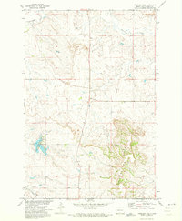
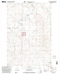
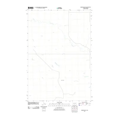
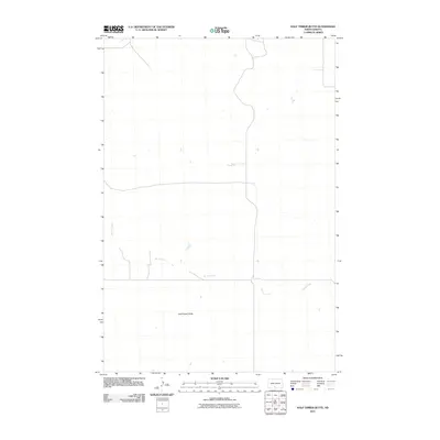
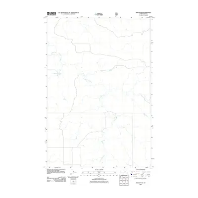
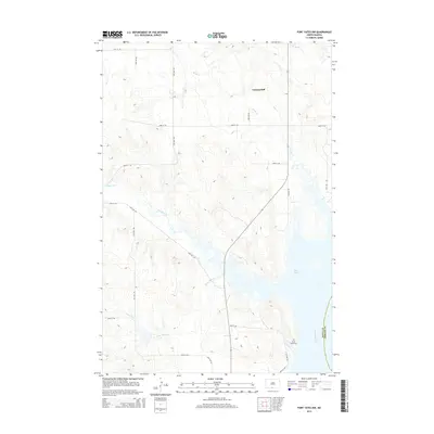
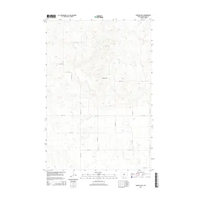
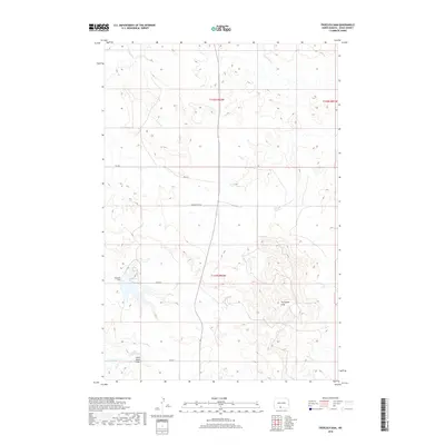
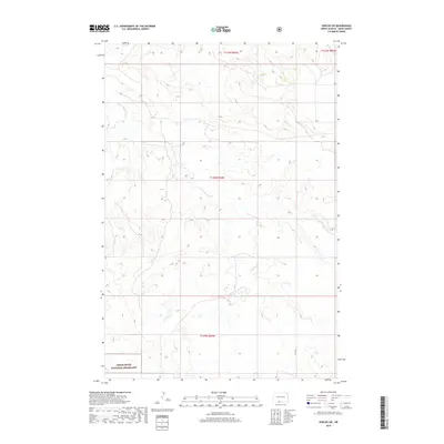
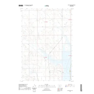
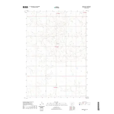
1971 Map of Shields SW
USGS Topo · Published 1973About this map
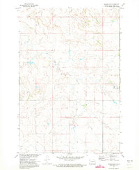
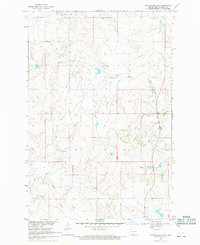
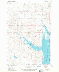
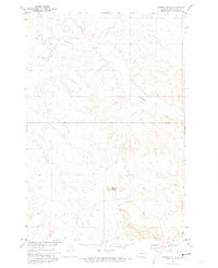
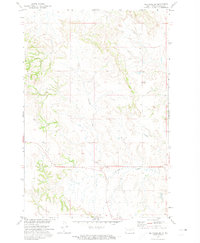
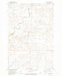
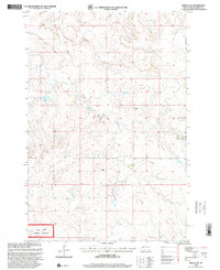
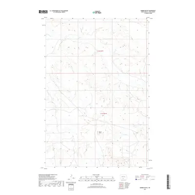
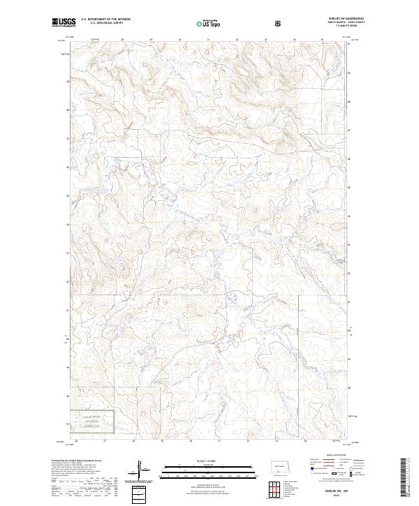
The Standing Rock Indian Reservation landscape is documented in this 1971 survey of the Missouri River Basin development area. The terrain is defined by the winding course of Leaf On The Hill Creek, which cuts through the upland topography of Sioux County. This specific quadrangle reflects a period of resource management and topographical mapping by the State Water Commission and federal agencies. While largely open country, the map identifies small-scale industrial activity such as a Gravel Pit in the eastern section. The presence of section lines and elevation markers across the reservation lands provides a detailed view of the rural township structure during the early 1970s.
Find a feature on this map
2 named features on this map. Tap any name to fly to it.
Don’t see what you’re looking for? This feature index may not catch every label — zoom into the map to look around manually.
Map Details
Editions of this 1971 Shields SW Map
This is the sole edition of this map. No revisions or reprints were ever made.
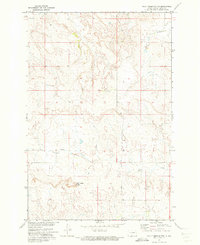
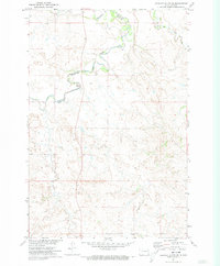
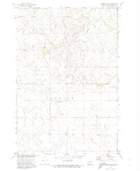
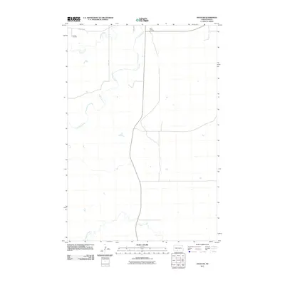
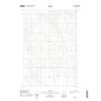
Historical Maps of Porcupine District Through Time
62 maps found
1968 Cannon Ball SW
Sioux County, ND
1968 Fort Yates NW
Sioux County, ND
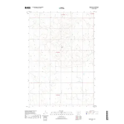
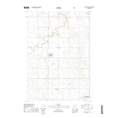
1971 Barren Butte
Sioux County, ND
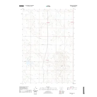
1971 Froelich Dam
Sioux County, ND
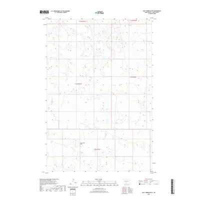
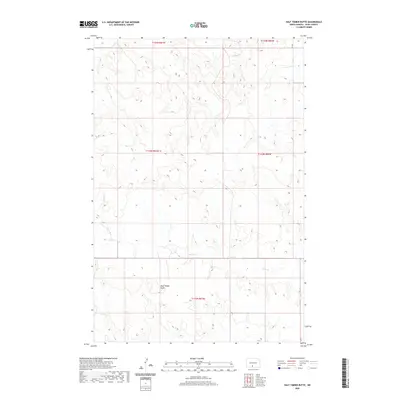
1971 Half Timber Butte
Sioux County, ND
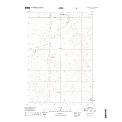
1971 Lookout Butte SE
Sioux County, ND
1971 Pamplin Hills
Sioux County, ND
1971 Selfridge SE
Sioux County, ND
1971 Shields SW
Sioux County, ND
1971 Solen SW
Sioux County, ND
1998 Lookout Butte SE
Sioux County, ND
1998 Shields SW
Sioux County, ND
2011 Barren Butte
Sioux County, ND
2011 Cannon Ball SW
Sioux County, ND
2011 Fort Yates NW
Sioux County, ND
2011 Froelich Dam
Sioux County, ND
2011 Half Timber Butte
Sioux County, ND
2011 Lookout Butte SE
Sioux County, ND
2011 Pamplin Hills
Sioux County, ND
2011 Selfridge SE
Sioux County, ND
2011 Shields SW
Sioux County, ND
2011 Solen SW
Sioux County, ND
2014 Barren Butte
Sioux County, ND
2014 Cannon Ball SW
Sioux County, ND
2014 Fort Yates NW
Sioux County, ND
2014 Froelich Dam
Sioux County, ND
2014 Half Timber Butte
Sioux County, ND
2014 Lookout Butte SE
Sioux County, ND
2014 Pamplin Hills
Sioux County, ND
2014 Selfridge SE
Sioux County, ND
2014 Shields SW
Sioux County, ND
2014 Solen SW
Sioux County, ND
2017 Barren Butte
Sioux County, ND
2017 Cannon Ball SW
Sioux County, ND
2017 Selfridge SE
Sioux County, ND
2018 Fort Yates NW
Sioux County, ND
2018 Froelich Dam
Sioux County, ND
2018 Half Timber Butte
Sioux County, ND
2018 Lookout Butte SE
Sioux County, ND
2018 Pamplin Hills
Sioux County, ND
2018 Shields SW
Sioux County, ND
2018 Solen SW
Sioux County, ND
2020 Barren Butte
Sioux County, ND
2020 Cannon Ball SW
Sioux County, ND
2020 Fort Yates NW
Sioux County, ND
2020 Froelich Dam
Sioux County, ND
2020 Half Timber Butte
Sioux County, ND
2020 Lookout Butte SE
Sioux County, ND
2020 Pamplin Hills
Sioux County, ND
2020 Selfridge SE
Sioux County, ND
2020 Shields SW
Sioux County, ND
2020 Solen SW
Sioux County, ND
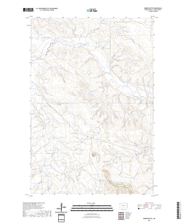
2024 Barren Butte
Sioux County, ND
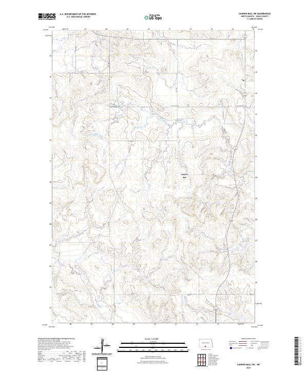
2024 Cannon Ball SW
Sioux County, ND
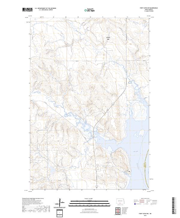
2024 Fort Yates NW
Sioux County, ND
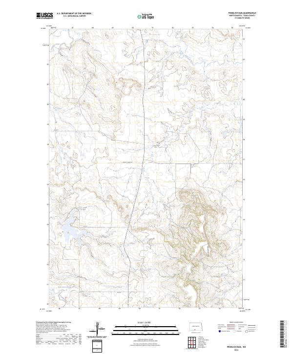
2024 Froelich Dam
Sioux County, ND
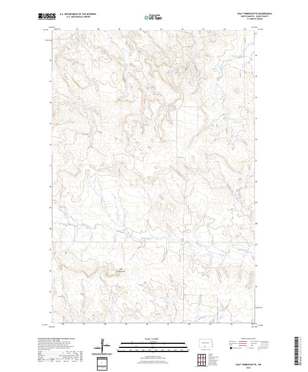
2024 Half Timber Butte
Sioux County, ND
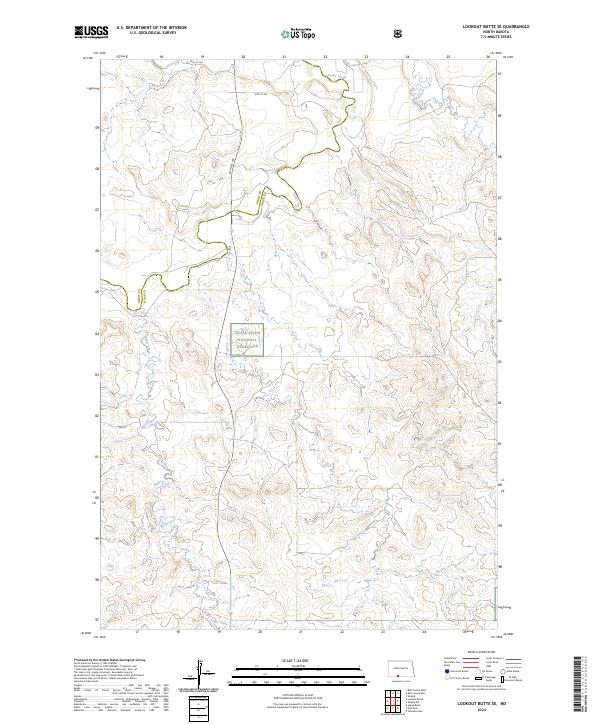
2024 Lookout Butte SE
Sioux County, ND
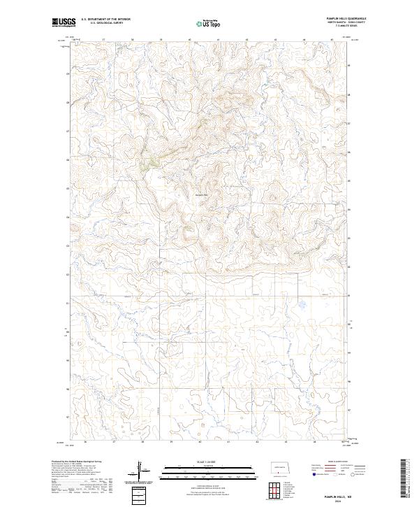
2024 Pamplin Hills
Sioux County, ND
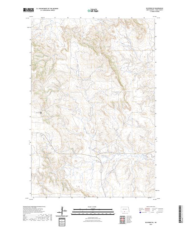
2024 Selfridge SE
Sioux County, ND
2024 Shields SW
Sioux County, ND
2024 Solen SW
Sioux County, ND