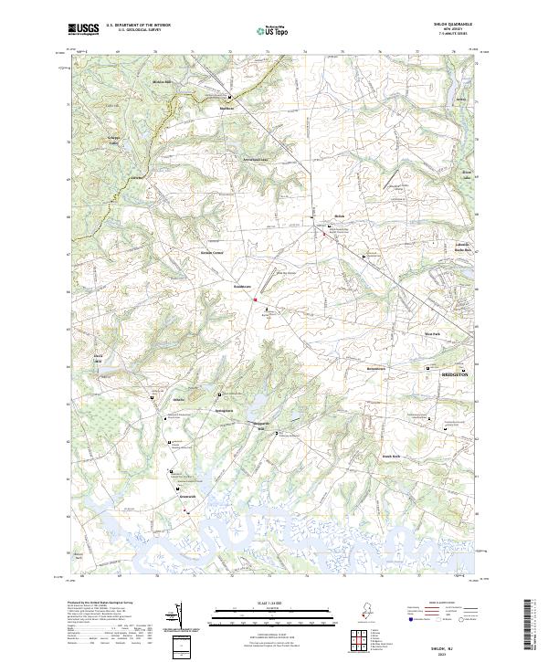
2023 Map of Shiloh
USGS Topo · Published 2023About this map
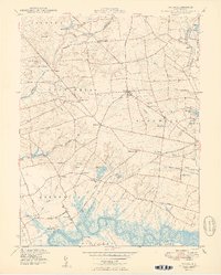
The Cohansey River defines the southern reach of this landscape, winding through the Green Swamp before reaching the historic grounds of Greenwich and Bacons Neck. The region is a dense corridor of religious and genealogical history, marked by a high concentration of Baptist and Quaker heritage sites. Significant landmarks include the Marlboro Seventh Day Baptist Church Cem and the Greenwich Friends Meeting-House Cem, which reflect the early settlement patterns of Cumberland County.
Find a feature on this map
170 named features on this map. Tap any name to fly to it.
Don’t see what you’re looking for? This feature index may not catch every label — zoom into the map to look around manually.
Map Details
Editions of this 2023 Shiloh Map
This is the sole edition of this map. No revisions or reprints were ever made.
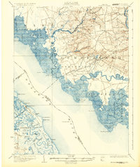
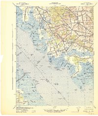
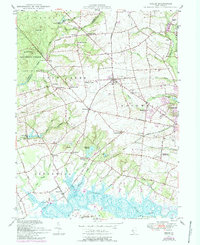
Historical Maps of Othello Through Time
5 maps found
Featured Locations
- Fairfield Township, NJ
- Hopewell Township, NJ
- Bridgeton, NJ
- Lower Alloways Creek Township, NJ
- Quinton Township, NJ