
2014 Map of Shiloh
USGS Topo · Published 2014About this map
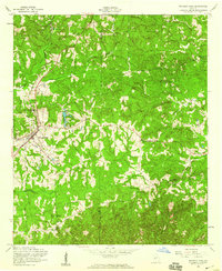
Shiloh serves as a central hub on this 2014 survey, situated where the northern slopes of Oak Mountain meet the rolling transition into the Piedmont. The landscape is defined by the ridge of Pine Mountain to the north and the complex network of creeks that drain the area, including Pigeon Creek, Sparks Creek, and Lazer Creek. Several established family and community landmarks are documented, such as Tramell Cemetery and Shiloh Cemetery, providing valuable data for genealogists tracing regional lineages.
Find a feature on this map
123 named features on this map. Tap any name to fly to it.
Don’t see what you’re looking for? This feature index may not catch every label — zoom into the map to look around manually.
Map Details
Editions of this 2014 Shiloh Map
This is the sole edition of this map. No revisions or reprints were ever made.
Other maps of this area

1907 · Talbotton
USGS Topo · 1:125,000

1934 · Warm Springs
USGS Topo · 1:62,500

1936 · Warm Springs
USGS Topo · 1:62,500

1950 · Talbotton
USGS Topo · 1:24,000

1950 · Waverly Hall
USGS Topo · 1:24,000

1950 · Cataula
USGS Topo · 1:24,000

1950 · Talbotton
USGS Topo · 1:62,500

1950 · Ellerslie
USGS Topo · 1:62,500

1955 · Talbotton
USGS Topo · 1:24,000
1955 · Waverly Hall
USGS Topo · 1:24,000