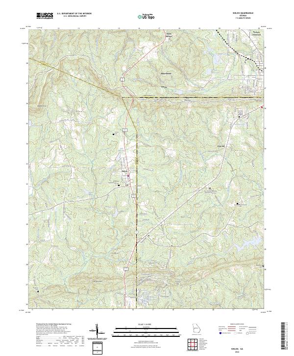
2024 Map of Shiloh
USGS Topo · Published 2024About this map
Pine Mountain and Oak Mountain dominate the topography of this West Georgia landscape, creating a series of gaps and overlooks that defined local movement. The settlement of Shiloh serves as a central hub, flanked by smaller communities like Nebula, Flint Hill, and Bulloch Crossroads. The terrain is marked by significant elevation changes, notably at Dowdell Knob and through Hodo Gap and Carlisle Gap.
Find a feature on this map
130 named features on this map. Tap any name to fly to it.
Don’t see what you’re looking for? This feature index may not catch every label — zoom into the map to look around manually.
Map Details
Editions of this 2024 Shiloh Map
This is the sole edition of this map. No revisions or reprints were ever made.
Other maps of this area

1907 · Talbotton
USGS Topo · 1:125,000

1934 · Warm Springs
USGS Topo · 1:62,500

1936 · Warm Springs
USGS Topo · 1:62,500

1950 · Talbotton
USGS Topo · 1:24,000

1950 · Waverly Hall
USGS Topo · 1:24,000

1950 · Cataula
USGS Topo · 1:24,000

1950 · Talbotton
USGS Topo · 1:62,500

1950 · Ellerslie
USGS Topo · 1:62,500

1955 · Talbotton
USGS Topo · 1:24,000
1955 · Waverly Hall
USGS Topo · 1:24,000