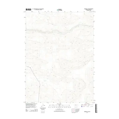
2014 Map of Shimmins Lake
USGS Topo · Published 2014About this map
The Dismal River carves a winding path across this portion of the Nebraska Sandhills, defining the remote character of Hooker County in the early twenty-first century. The landscape is characterized by a dense network of dune contours that shape the drainage patterns of the region, where water bodies like Shimmins Lake sit in the low basins between sandy rises. Human presence is concentrated along the single major corridor of Ne 97, which cuts through the southwestern corner of the area. This survey provides a precise record of the elevation and hydrography of this sparsely populated ranching country, showing how the limited infrastructure follows the natural topography of the river valley.
Find a feature on this map
3 named features on this map. Tap any name to fly to it.
Don’t see what you’re looking for? This feature index may not catch every label — zoom into the map to look around manually.
Map Details
Editions of this 2014 Shimmins Lake Map
This is the sole edition of this map. No revisions or reprints were ever made.
Other maps of this area

1947 · Dismal River Ranch
USGS Topo · 1:62,500

1949 · Dismal River Ranch
USGS Topo · 1:62,500

1949 · Wright Valley
USGS Topo · 1:62,500

1950 · Shimmins Lake
USGS Topo · 1:62,500

1951 · Tryon
USGS Topo · 1:62,500

1951 · Wright Valley
USGS Topo · 1:62,500

1954 · North Platte
USGS Topo · 1:250,000

1956 · North Platte
USGS Topo · 1:250,000

1957 · North Platte
USGS Topo · 1:250,000

1967 · North Platte
USGS Topo · 1:250,000