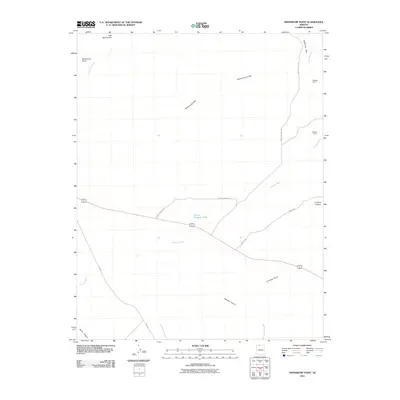
2011 Map of Shinarump Point
USGS Topo · Published 2011About this map
Shinarump Cliffs define the high northern perimeter of this Arizona landscape, overlooking a series of washes and remote ranching sites. The map records the sparse pastoral footprint in this arid region, featuring Buttons Ranch and Chatterly Ranch near the winding course of Johnson Wash. Human activity is primarily centered on resource management and transit, as evidenced by Hatch Brothers Tank and a network of secondary routes like Winter Rd and Ryan Rd. The topography is sharply articulated by deep drainages such as Wildcat Canyon and Jacob Canyon, while prominent landmarks like Shinarump Point and Crowbar Point serve as key navigational markers in the high desert terrain.
Find a feature on this map
16 named features on this map. Tap any name to fly to it.
Don’t see what you’re looking for? This feature index may not catch every label — zoom into the map to look around manually.
Map Details
Editions of this 2011 Shinarump Point Map
2 editions found
Other maps of this area

1886 · Kanab
USGS Topo · 1:250,000

1886 · Kaibab
USGS Topo · 1:250,000

1953 · Cedar City
USGS Topo · 1:250,000

1953 · Grand Canyon
USGS Topo · 1:250,000

1954 · Johnson SE
USGS Topo · 1:24,000

1954 · Kanab SE
USGS Topo · 1:24,000

1954 · Shinarump NW
USGS Topo · 1:24,000

1954 · Johnson SW
USGS Topo · 1:24,000

1954 · Fredonia NE
USGS Topo · 1:24,000

1954 · Fredonia
USGS Topo · 1:62,500