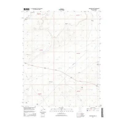
2014 Map of Shinarump Point
USGS Topo · Published 2014About this map
Shinarump Point and the Shinarump Cliffs dominate this Coconino County landscape, where the high desert terrain is defined by complex drainage systems and isolated water sources. The map reveals a network of canyons and gaps, including Le Fevre Canyon, Wildcat Canyon, and the deep incision of Jacob Canyon to the south. Water management is central to the area's utility, marked by features such as Pratt Reservoir, Little Reservoir, and the Hatch Brothers Tank. A sparse but essential road network, including Us-89-Alt and various Bureau of Land Management routes like BLM-55, connects these remote landmarks. The prominence of Johnson Wash and Lost Spring Wash illustrates the natural corridors that have likely guided travel through this region for generations.
Find a feature on this map
29 named features on this map. Tap any name to fly to it.
Don’t see what you’re looking for? This feature index may not catch every label — zoom into the map to look around manually.
Map Details
Editions of this 2014 Shinarump Point Map
This is the sole edition of this map. No revisions or reprints were ever made.
Other maps of this area

1886 · Kanab
USGS Topo · 1:250,000

1886 · Kaibab
USGS Topo · 1:250,000

1953 · Cedar City
USGS Topo · 1:250,000

1953 · Grand Canyon
USGS Topo · 1:250,000

1954 · Johnson SE
USGS Topo · 1:24,000

1954 · Kanab SE
USGS Topo · 1:24,000

1954 · Shinarump NW
USGS Topo · 1:24,000

1954 · Johnson SW
USGS Topo · 1:24,000

1954 · Fredonia NE
USGS Topo · 1:24,000

1954 · Fredonia
USGS Topo · 1:62,500