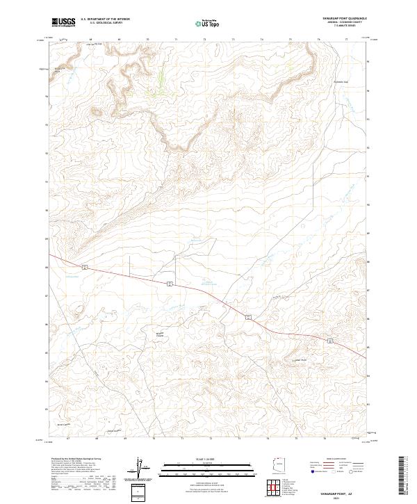
2021 Map of Shinarump Point
USGS Topo · Published 2021About this map
Johnson Wash defines the drainage pattern of this high plateau country in Coconino County, carving a path through the landscape alongside the distinctive Shinarump Point. The area is characterized by dry washes and essential water catchment features like the Pratt Reservoir and Hatch Brothers Tank, which reflect the ranching and livestock history of this arid region. The topography transitions from the dramatic depths of Wildcat Canyon and Jacob Canyon to high promontories such as Crowbar Point.
Find a feature on this map
20 named features on this map. Tap any name to fly to it.
Don’t see what you’re looking for? This feature index may not catch every label — zoom into the map to look around manually.
Map Details
Editions of this 2021 Shinarump Point Map
This is the sole edition of this map. No revisions or reprints were ever made.
Other maps of this area

1886 · Kanab
USGS Topo · 1:250,000

1886 · Kaibab
USGS Topo · 1:250,000

1953 · Cedar City
USGS Topo · 1:250,000

1953 · Grand Canyon
USGS Topo · 1:250,000

1954 · Johnson SE
USGS Topo · 1:24,000

1954 · Kanab SE
USGS Topo · 1:24,000

1954 · Shinarump NW
USGS Topo · 1:24,000

1954 · Johnson SW
USGS Topo · 1:24,000

1954 · Fredonia NE
USGS Topo · 1:24,000

1954 · Fredonia
USGS Topo · 1:62,500