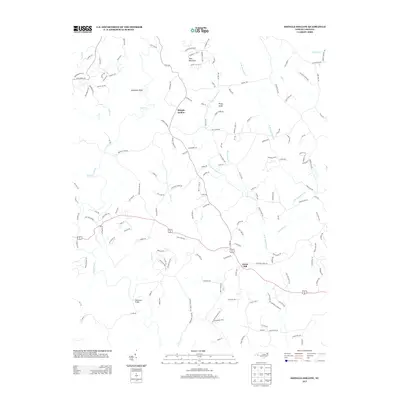
2013 Map of Shingle Hollow
USGS Topo · Published 2013About this map
The Broad River flows through the southwestern corner of this Rutherford County landscape, where the foothills of western North Carolina give way to significant elevation markers like Toms Mountain and Piney Knob. The settlement of Green Hill serves as a central point along the main thoroughfare, while Shingle Hollow remains a distinct community tucked further north among the numerous drainages of Knob Cr and Mountain Cr.
Find a feature on this map
158 named features on this map. Tap any name to fly to it.
Don’t see what you’re looking for? This feature index may not catch every label — zoom into the map to look around manually.
Map Details
Editions of this 2013 Shingle Hollow Map
This is the sole edition of this map. No revisions or reprints were ever made.
Other maps of this area

1900 · Mount Mitchell
USGS Topo · 1:125,000

1902 · Mount Mitchell
USGS Topo · 1:125,000

1905 · Morganton
USGS Topo · 1:125,000

1907 · Saluda
USGS Topo · 1:125,000

1953 · Charlotte
USGS Topo · 1:250,000

1954 · Charlotte
USGS Topo · 1:250,000

1955 · Knoxville
USGS Topo · 1:250,000

1957 · Knoxville
USGS Topo · 1:250,000

1959 · Lake Lure
USGS Topo · 1:62,500

1960 · Knoxville
USGS Topo · 1:250,000