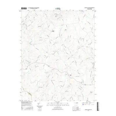
2016 Map of Shingle Hollow
USGS Topo · Published 2016About this map
Green Hill and Shingle Hollow anchor this landscape along the border of Rutherford and Polk Counties. The area is defined by a dense network of watercourses, including the Broad River and several branches of Mountain Cr, which drain the foothills near Toms Mtn and Piney Knob. For local historians and genealogists, the map identifies numerous burial sites such as Antioch Church Cem and the Miller Twitty Cem, often located near early community centers. The transport network shows a transition from rural routes like Painters Gap Rd to more modern thoroughfares, while landmarks like Whiteside Bridge and Anderson Shoal pinpoint specific river crossings and natural features that shaped early settlement patterns in this part of western North Carolina.
Find a feature on this map
140 named features on this map. Tap any name to fly to it.
Don’t see what you’re looking for? This feature index may not catch every label — zoom into the map to look around manually.
Map Details
Editions of this 2016 Shingle Hollow Map
This is the sole edition of this map. No revisions or reprints were ever made.
Other maps of this area

1900 · Mount Mitchell
USGS Topo · 1:125,000

1902 · Mount Mitchell
USGS Topo · 1:125,000

1905 · Morganton
USGS Topo · 1:125,000

1907 · Saluda
USGS Topo · 1:125,000

1953 · Charlotte
USGS Topo · 1:250,000

1954 · Charlotte
USGS Topo · 1:250,000

1955 · Knoxville
USGS Topo · 1:250,000

1957 · Knoxville
USGS Topo · 1:250,000

1959 · Lake Lure
USGS Topo · 1:62,500

1960 · Knoxville
USGS Topo · 1:250,000