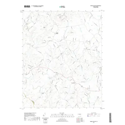
2019 Map of Shingle Hollow
USGS Topo · Published 2019About this map
Green Hill and Shingle Hollow anchor this Rutherford County landscape, where the foothills meet the Broad River. The area is defined by a dense network of mountain streams including Cove Creek, Bills Cr, and Knob Cr, which carve through the terrain near Toms Mtn and Piney Knob. For local historians and genealogists, the map is a significant record of family and community heritage, noting numerous rural burial grounds such as Antioch Church Cem, Matthews Church Cem, and the Miller-Twitty Cem. The presence of landmarks like Whiteside Bridge and Anderson Shoal illustrates how early residents navigated the river systems. The transition from the high ridges of Wilderness Ridge and Timber Ridge down to the valley floors shows a settlement pattern dictated by the winding watercourses of Maple Cr and Mountain Creek.
Find a feature on this map
150 named features on this map. Tap any name to fly to it.
Don’t see what you’re looking for? This feature index may not catch every label — zoom into the map to look around manually.
Map Details
Editions of this 2019 Shingle Hollow Map
This is the sole edition of this map. No revisions or reprints were ever made.
Other maps of this area

1900 · Mount Mitchell
USGS Topo · 1:125,000

1902 · Mount Mitchell
USGS Topo · 1:125,000

1905 · Morganton
USGS Topo · 1:125,000

1907 · Saluda
USGS Topo · 1:125,000

1953 · Charlotte
USGS Topo · 1:250,000

1954 · Charlotte
USGS Topo · 1:250,000

1955 · Knoxville
USGS Topo · 1:250,000

1957 · Knoxville
USGS Topo · 1:250,000

1959 · Lake Lure
USGS Topo · 1:62,500

1960 · Knoxville
USGS Topo · 1:250,000