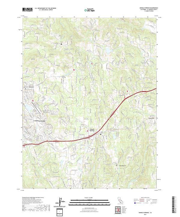
2021 Map of Shingle Springs
USGS Topo · Published 2021About this map
Shingle Springs and the surrounding foothill communities of El Dorado County are defined by a complex intersection of historic ranching roots and modern residential expansion. The landscape is bisected by US Highway 50, which serves as the primary artery connecting older settlements like Frenchtown and Skinners with newer developments. Genealogists will find significant value in the distribution of family-named burial grounds, including the Skinner Ranch Cem and the Jayhawk Cem near Jayhawk Cr. The region's industrial past is subtly preserved in labels like Shingle Lime Mine Rd, while the hydraulic network is marked by numerous seasonal and permanent waterways such as Weber Cr and Big Canyon Cr Reservoir. This contemporary survey also highlights the local importance of the Cameron Park Airport, illustrating the transition from a remote mining and agricultural district to a suburban aviation-centered community.
Find a feature on this map
42 named features on this map. Tap any name to fly to it.
Don’t see what you’re looking for? This feature index may not catch every label — zoom into the map to look around manually.
Map Details
Editions of this 2021 Shingle Springs Map
This is the sole edition of this map. No revisions or reprints were ever made.
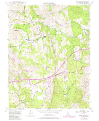
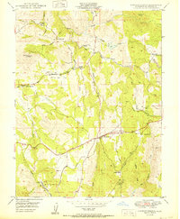
Historical Maps of Cameron Airpark Estates Through Time
3 maps found