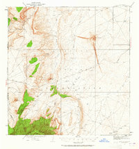
1934 Map of Ship Rock
USGS Topo · Published 1965About this map
Ship Rock stands as a massive volcanic landmark in this mid-1930s survey of the high desert within the Navajo Indian Reservation. The mapping, conducted by Max J. Gleissner and his team, captures a landscape defined by dramatic geological formations and seasonal waterways. From the towering heights of Beautiful Mountain in the southwest to the distinct profiles of Mitten Rock and the Thumb, the terrain is etched by an intricate network of drainages including Shiprock Wash, Salt Creek, and the curiously named Dead Mans Wash.
Find a feature on this map
21 named features on this map. Tap any name to fly to it.
Don’t see what you’re looking for? This feature index may not catch every label — zoom into the map to look around manually.
Map Details
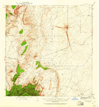
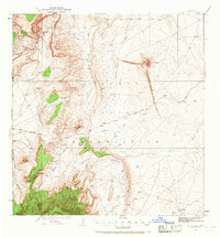
Editions of this 1934 Ship Rock Map
4 editions found
Other maps of this area

1889 · Chaco
USGS Topo · 1:250,000

1892 · Chaco
USGS Topo · 1:250,000

1892 · Canyon De Chelly
USGS Topo · 1:250,000

1927 · Sulphur Spring
USGS Topo · 1:96,000

1928 · Kirtland
USGS Topo · 1:125,000

1932 · Kirtland
USGS Topo · 1:125,000

1934 · Ship Rock
USGS Topo · 1:62,500

1934 · Chimney Rock
USGS Topo · 1:62,500

1934 · Rattlesnake
USGS Topo · 1:62,500

1936 · Chimney Rock
USGS Topo · 1:62,500