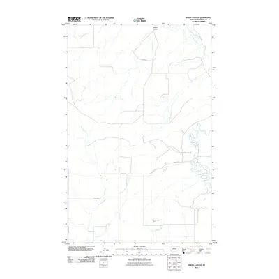
2011 Map of Shippe Canyon
USGS Topo · Published 2011About this map
Shippe Canyon and the winding course of Big Muddy Creek define the Sheridan County landscape in this 2011 survey. This portion of the Fort Kipp District is characterized by its drainage networks, where Otter Creek and the notable Richardson Coulee shape the local topography. While the region remains primarily rural and dominated by natural features, evidence of land management and infrastructure is visible at the Cornhuskers Dam. Local transit follows a sparse grid of named thoroughfares including Canyon Dr and Single Tree Rd, while the southern reaches are marked by Crazy Horse and Jentore Rd. The map illustrates a contemporary balance between the original prairie hydrology and the essential road systems required for modern access in this high plains environment.
Find a feature on this map
10 named features on this map. Tap any name to fly to it.
Don’t see what you’re looking for? This feature index may not catch every label — zoom into the map to look around manually.
Map Details
Editions of this 2011 Shippe Canyon Map
This is the sole edition of this map. No revisions or reprints were ever made.
Other maps of this area

1948 · Reserve
USGS Topo · 1:24,000

1948 · Alkali Coulee
USGS Topo · 1:24,000

1948 · Antelope
USGS Topo · 1:24,000

1949 · Reserve
USGS Topo · 1:24,000

1949 · Antelope
USGS Topo · 1:24,000

1949 · Alkali Coulee
USGS Topo · 1:24,000

1950 · Shippe Canyon
USGS Topo · 1:24,000

1954 · Wolf Point
USGS Topo · 1:250,000

1958 · Wolf Point
USGS Topo · 1:250,000

1983 · Dooley SW
USGS Topo · 1:24,000