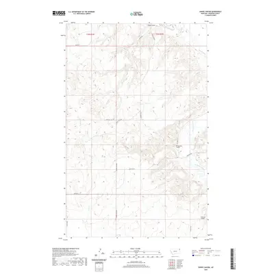
2020 Map of Shippe Canyon
USGS Topo · Published 2020About this map
Big Muddy Creek winds through this section of Sheridan County, carving a distinct drainage network that defines the local topography. This 2020 landscape in the Fort Kipp District is characterized by deep erosional features like Shippe Canyon, Richardson Coulee, and Clarence Coulee. The map illustrates a rural area primarily organized by the Public Land Survey System, with township boundaries for t35n r54e and t35n r55e clearly marked. A network of local roads, including Shippe Canyon Rd and Otter Cr Rd, provides access across the broken terrain and alongside Otter Cr. These routes and the named coulees reflect the enduring importance of water and drainage patterns in shaping land use and navigation in this part of Montana.
Find a feature on this map
18 named features on this map. Tap any name to fly to it.
Don’t see what you’re looking for? This feature index may not catch every label — zoom into the map to look around manually.
Map Details
Editions of this 2020 Shippe Canyon Map
This is the sole edition of this map. No revisions or reprints were ever made.
Other maps of this area

1948 · Reserve
USGS Topo · 1:24,000

1948 · Alkali Coulee
USGS Topo · 1:24,000

1948 · Antelope
USGS Topo · 1:24,000

1949 · Reserve
USGS Topo · 1:24,000

1949 · Antelope
USGS Topo · 1:24,000

1949 · Alkali Coulee
USGS Topo · 1:24,000

1950 · Shippe Canyon
USGS Topo · 1:24,000

1954 · Wolf Point
USGS Topo · 1:250,000

1958 · Wolf Point
USGS Topo · 1:250,000

1983 · Dooley SW
USGS Topo · 1:24,000